
 Continue with onX Maps
 Sign in with Facebook


| Elevation: | 2,000 ft | 610 m |
| GPS: |
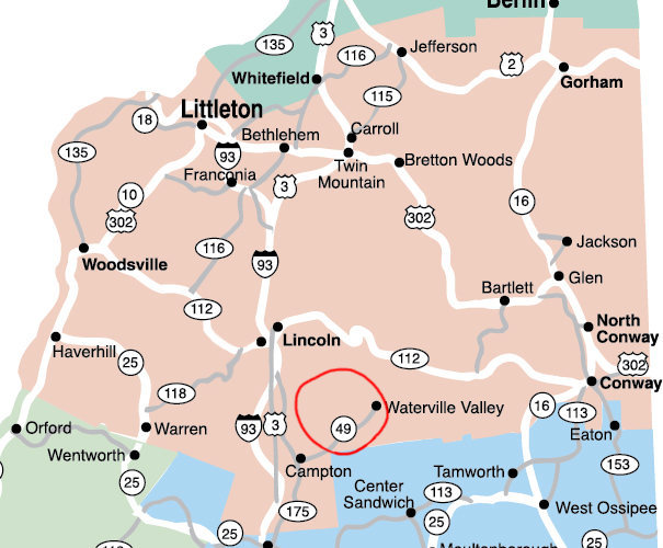
43.91799, -71.58519 Google Map · Climbing Area Map |
|
| Page Views: | 487,591 total · 3,001/month | |
| Shared By: | Jay Knower on Oct 26, 2011 | |
| Admins: | Jay Knower, M Sprague, Jeffrey LeCours, Jonathan S, Robert Hall |
Description

Waterville Valley was rightfully considered a climbing backwater, that is until the pandemic hit. Since then, development has continued unabated, and it has unearthed (literally) some really fantastic climbing. From the sweeping slabs of Dickie Ledge, to the forested mini-crags of Bald Knob/Yellowjacket; from the roadside sport climbing at Merriam Woods aka Russell Crags, to the soaring alpine cracks of Mt Osceola, there's likely something for everyone in them thar' hills.
There's still a lot of untouched rock out there: some of it is good, some of it is terrible, and some of it is completely inaccessible. But people keep looking, hoping to stumble upon the next Waimea*, but more likely finding solitude, beautiful mountain views, and a profound respect for the uniqueness of the Waterville Valley area.
*If you read the previous version of this page, you'll know that I said we're all looking for the next Main Cliff. We found it here! So now we're looking for the next Waimea.
Classic Climbing Routes at WM: Waterville Valley


Weather Averages
|
High
|
Low
|
|
Precip
|
Days w Precip
|
| J | F | M | A | M | J | J | A | S | O | N | D |
| J | F | M | A | M | J | J | A | S | O | N | D |
Photos


All Photos Within WM: Waterville Valley
Most Popular · Newest · RandomMore About WM: Waterville Valley
Printer-FriendlyWhat's New
Guidebooks (2)


21 Comments