
 Continue with onX Maps
 Sign in with Facebook


| Elevation: | 1,460 ft | 445 m |
| GPS: |
44.43312, -70.52698 Google Map · Climbing Area Map |
|
| Page Views: | 198,832 total · 880/month | |
| Shared By: | Jay Knower on May 21, 2007 · Updates | |
| Admins: | Ladd Raine, Jonathan S, Robert Hall, Chris Duca |
Description

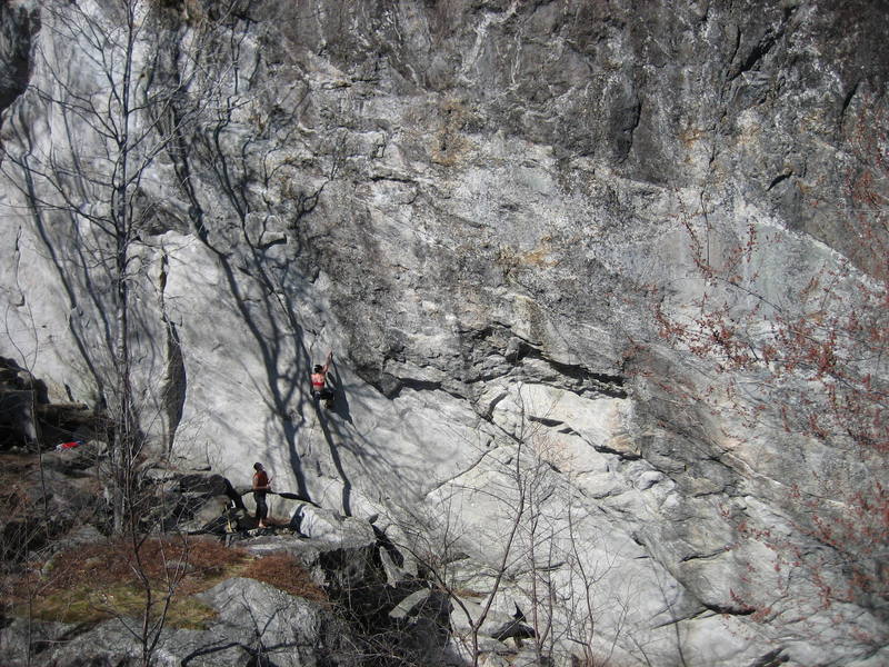
In my experience, granite rarely forms buckets and when it does form buckets, it's rarely steep. Shagg Crag has all three: steep, juggy, granite climbing.
Located about an hour away from North Conway, Shagg sees a fair amount of traffic, though it is still possible to have the crag by yourself on a sunny weekend. The crag gets afternoon sun and there is little to offer shade, so expect a warm climbing experience. This can be a great thing on sunny winter days, or a curse on sunny summer days. Get up early on warm days and climb until the wall comes into the sun.
Besides Waimea at Rumney, Shagg might be the most stacked cliff in all of New England. If you're looking for endurance-esque 5.12's, I can't think of a better crag. The guidebook lists twelve routes rated 5.12 and almost all of them are quality. Shaggin Wagon (12a), Ginseng Route (12c), Meltdown (12c/d), and Shagg It (12d), stand out as unique classics. If you're looking for routes of a more moderate grade, Shagg might offer enough for a day or so, and The Great Escape (10d) should not be missed.
Getting There
From the south (starting at Norway, ME):
Take Rte. 26 towards West Paris and turn right (east) onto Rte. 219.
After 4.8 miles, turn left (north) onto Tuell Hill Rd. Follow Tuell Hill Rd. 1.7 miles where you turn left to continue on Tuell Hill Rd. and not continue onto Heath Hill Rd., Tuell Hill Rd continues until it dead-ends into Redding Road just after a bridge. Reset your odometer at the bridge and turn left (west) onto Redding Road. At 3.9 or 4.0 miles there is an obvious pullout on the left. Park here; the trail starts on the other side of the road, which is marked as Little Concord Pond State ParkTrailhead and is easily found on Google Maps.
DO NOT turn right on North Shore Rd at the bottom of the hill- it is a private, dead end road.
DO NOT leave your trash, leave your bowel movements or camp in the parking lot. The parking lot is privately owned (not part of the state park and the owner does not appreciate the state of it, whether or not it is climbers doing this).
Follow the trail for about 10 minutes until you come to a pond and a trail junction (the left fork goes to the pond, the middle fork contours east around the pond to an amazing rock to jump off after your hot day of climbing, the right fork heads up a steep ridge/hill marked by a green sign 'Bald/Speckled Mountain'. Take the right fork up the hill for 15-20 minutes until you reach a fork in the trail, immediately before a steeper section of the trail. Take the right hand fork (a small rock cairn here denotes the climbers path), and follow this through the woods for another 10 to 15 minutes until you’re deposited in front of the cliff. If you miss this turn, you'll continue for 10 minutes to the summit. Total hiking time is roughly 30 minutes.
Classic Climbing Routes at Shagg Crag


Weather Averages
|
High
|
Low
|
|
Precip
|
Days w Precip
|
| J | F | M | A | M | J | J | A | S | O | N | D |
| J | F | M | A | M | J | J | A | S | O | N | D |
Photos


All Photos Within Shagg Crag
Most Popular · Newest · RandomMore About Shagg Crag
Printer-FriendlyWhat's New
Guidebooks (3)


32 Comments