
 Continue with onX Maps
 Sign in with Facebook


Springer Gulch Wall Rock Climbing
Routes in Springer Gulch Wall


|
Bill and Britt One S 5.9 5c 17 VI 17 HVS 5a |
|
|
Bill and Britt Two S 5.9- 5c 17 VI 16 HVS 4c |
|
|
Here's to Future Ways T 5.12b 7b 26 VIII+ 26 E5 6b |
|
|
Kokopelli S 5.10 6b 20 VII- 19 E2 5b |
|
|
Lichen Cleavage S 5.10a 6a 18 VI+ 18 E1 5a |
|
|
Lobster Claw T 5.10 6b 20 VII- 19 E2 5b |
|
|
Luminosity V7 7A+ R |
|
|
McLaughling S 5.12d 7c 28 IX 28 E6 6b |
|
|
Schmaussers S 5.11b 6c 23 VIII- 23 E3 5c |
|
|
Statement for Youth T 5.12a 7a+ 25 VIII+ 25 E5 6a |
|
|
Sunkist S 5.7 5a 15 V+ 13 MVS 4b |
|
|
Surfing With The Alien S 5.12a 7a+ 25 VIII+ 25 E5 6a |
|
|
Unknown S 5.12b 7b 26 VIII+ 26 E5 6b |
| Elevation: | 8,547 ft | 2,605 m |
| GPS: |
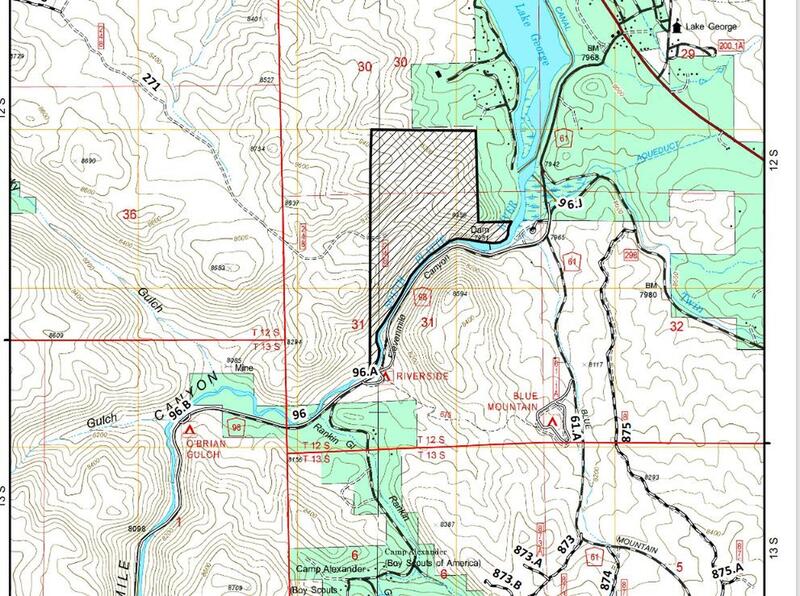
38.93001, -105.42522 Google Map · Climbing Area Map |
|
| Page Views: | 13,248 total · 74/month | |
| Shared By: | Rich F. on May 27, 2011 | |
| Admins: | Leo Paik, John McNamee, Frances Fierst, Monty, Monomaniac, Tyler KC |
 Access Issue: Seasonal Raptor Closures January 1- July 31st, 2016-2021
Details
Access Issue: Seasonal Raptor Closures January 1- July 31st, 2016-2021
Details
Seasonal Closures in effect January 1-July 31st, 2016-2021.
For details visit:
fs.usda.gov/Internet/FSE_DO…
Maps:
fs.usda.gov/Internet/FSE_DO…
fs.usda.gov/Internet/FSE_DO…
Contact phone number: (719) 553-1400.
Description

The wall sits high above the entrance to the Springer Gulch Campground area (see photo). The south-facing wall does not appear to get much traffic, but the rock is good and it appears to have a variety of bolted climbs.
NOTE -- for route descriptions in this area and around Colorado, I highly recommend Stewart Green's "Rock Climbing Colorado, 2nd Edition (2010)" guidebook. I've bought most of the guidebooks for Colorado, but if I could only purchase one, this would be it :-)
Getting There
As you enter the Springer Gulch Campground, there are a few campsites at the bend in the road before it goes about 400 yards up to the main campground loop. The wall is directly (and high) above these first campsites. From the these campsites, look up (north) to see the wall, cross through the second campsite and follow a path that heads uphill to the wall. It's easy to find, but the last 1/3 of the hike is fairly steep uphill. It's about a 10 or 15 minute approach hike to the base of the wall.
Classic Climbing Routes at Springer Gulch Wall
Weather Averages
|
High
|
Low
|
|
Precip
|
Days w Precip
|
| J | F | M | A | M | J | J | A | S | O | N | D |
| J | F | M | A | M | J | J | A | S | O | N | D |
Photos


All Photos Within Springer Gulch Wall
Most Popular · Newest · RandomMore About Springer Gulch Wall
Printer-FriendlyWhat's New


4 Comments