
 Continue with onX Maps
 Sign in with Facebook


All Locations >
Oklahoma
> SE Oklahoma
> McGee Creek Nat…
> Scenic Overlook…
> Carnasaw Slabs (AKA R…
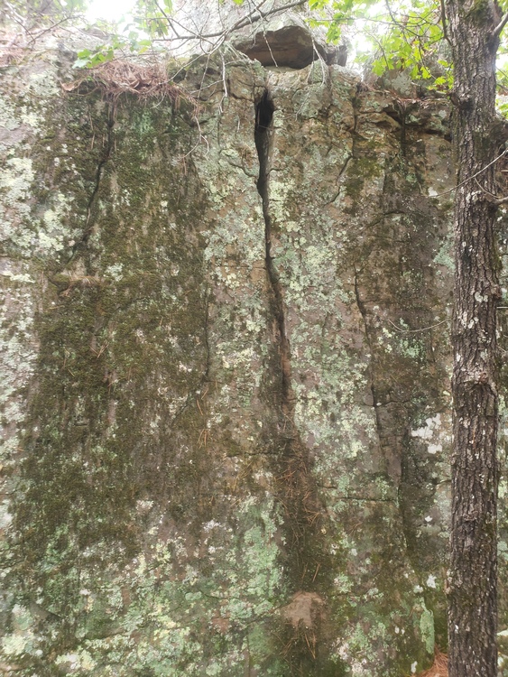
Scatological (AKA Blue)

V0-1 YDS 4+ Font

 Avg: 1.5 from 2
votes
Avg: 1.5 from 2
votes
Routes in Carnasaw Slabs (AKA Rainbow Slabs)
|
|
Attune Arete (AKA Red) V0 4 |
|
|
Parity (AKA Green) V0 4 |
|
|
Purple V-easy 3 PG13 |
|
|
Scatological (AKA Blue) V0-1 4+ |
|
|
Stasis (AKA Orange) V0 4 |
|
|
Still Symmetry (AKA Yellow) V1 5 |
Order Wrong?
Sort Routes
| Type: | Boulder, 12 ft (4 m) |
| GPS: | 34.4001, -95.83513 |
| FA: | Andrew |
| Page Views: | 562 total · 7/month |
| Shared By: | Boulder Bill on Sep 29, 2019 · Updates |
| Admins: | Ryan Sheldon, Drew Nevius, Kevin Diaz |
Your To-Do List:
Add To-Do ·
Your Star Rating:


Use onX Backcountry to explore the terrain in 3D, view recent satellite imagery, and more.
Now available in onX Backcountry Mobile apps! For more information see this post.


0 Comments