
 Continue with onX Maps
 Sign in with Facebook


Help Identifying Formation in Josh


|
Z Olsonwrote: That was my initial thought, but it is a bit too hot to check it out in person. |
|
|
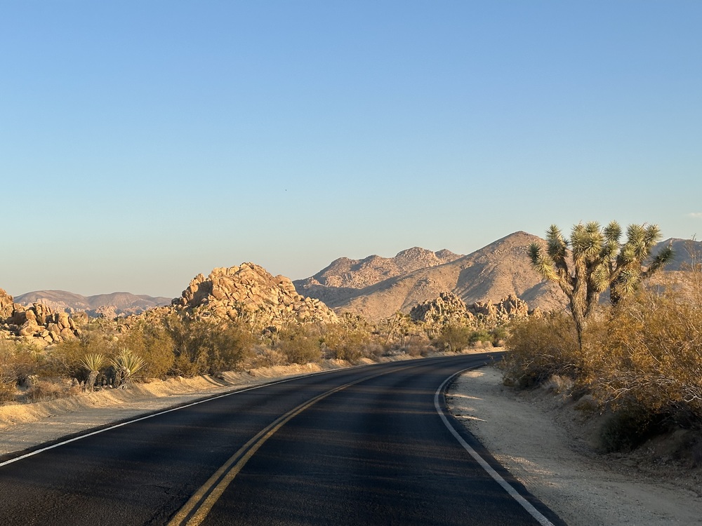
Randywrote: 34.06473° N, 116.22903° W Park blvd facing S-SE towards Mt. Minerva Hoyt. Give it a look in Apple Maps, they currently have the highest accuracy digital surface model out there right now. |
|
|
Orion Mariniwrote: “Influencer Alley” first place tourists find rocks and trees together and not so far from cell service to be uncomfortable. |
|
|
Randywrote: Randy when you do, definitely take photos. It is fun to see then and now photos of areas. A few years back I did that in one of our local canyons. |
|
|
 |
|
|
Dang, that's impressive. So the current road is 100-feet or so to the West from the one in the old photo? |
|
|
Fun game. Didn't the old road go around the other side of Intersection Rock? It would make sense that the road was more to the east than the current road. Only nine weeks until Rocktober XXIV! |
|
|
plantmandanwrote: Yes. I still get confused when driving in cause the road is on the opposite side now. |
|
|
Allen Sandersonwrote: I know, right? |
|
|
BITD the road went right through what is now the parking lot. There was an intersection also, with a stop sign. Folks would blow the stop cause they would be looking at climbers on the face. So now you know the rest of the story. |
|
|
It is true that the road used to go through the parking lot in front of Intersection Rock and the entrance to Hidden Valley Campground was located there. In the 1960s there was a sign as Guy describes, but other than that, the rest is most kindly best described as a "good yarn." But, back to reality. The dirt road in the postcard was very little changed in location when later paved and eventually repaved as shown today. |
|
|
 Roadway going north of Intersection Rock 1996  And its current configuration 2002 |
|
|
Here is another older postcard with a couple easily identified formations.  |
|
|
Randywrote: Gotta be Little Rock Candy Mountain with Echo Rock in the background, looking roughly NW. The best match I could find is this topo for Flakey Jake. 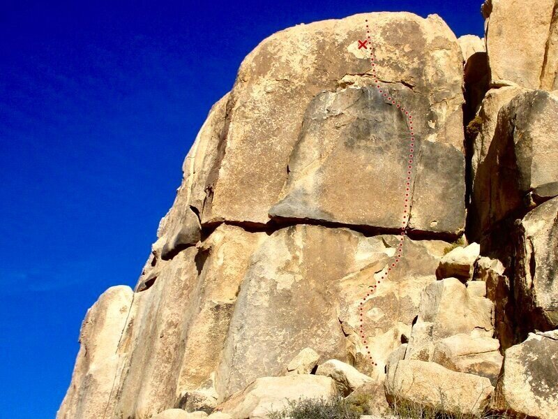 |
|
|
Randywrote: The crag might look the same, but the vegetation around it sure looks different today. |


