
 Continue with onX Maps
 Sign in with Facebook


The Moon Bouldering
Use onX Backcountry to explore the terrain in 3D, view recent satellite imagery, and more. Now available in onX Backcountry Mobile apps! For more information see this post.
| Elevation: | 3,991 ft | 1,216 m |
| GPS: |
37.09466, -111.64411 Google Map · Climbing Area Map |
|
| Page Views: | 1,117,428 total · 11,001/month | |
| Shared By: | Kyran Keisling on Oct 28, 2016 · Updates | |
| Admins: | Perin Blanchard, GRK, David Crane |
Description

The Moon has some of the better rock at the Big Waters, yields some fantastic problems and has loads of quiet.
Getting There
There is an approach trail on the map.. Use the very prominent Haycock Point about 1.5 miles north of the road as your bearing. Take a left on the small dirt road ¼ of a mile past the creek crossing. The road is 2WD safe until you get about a 1/3 of a mile from the boulders and have to veer to your right and the road turns to soft shale. If you know how to drive in the soft stuff 4x4 is not necessary but may be handy if you are an off road punter. Because it is an ATV use area the road can be a little difficult to follow due to tracks going in every direction. If you get off route, never fear, just drive fast and take chances, you'll be fine. The walk in is not bad at all if you decide to leave your car at the wash.
![]()
Dive fast, take chances, you'll be fine.
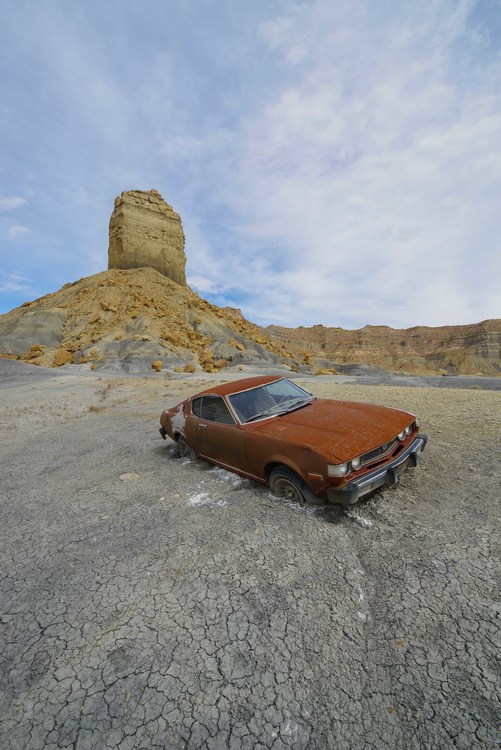
Dive fast, take chances, you'll be fine.
Classic Climbing Routes at The Moon
Mountain Project's determination of the classic, most popular, highest rated climbing routes in this area.


Weather Averages
|
High
|
Low
|
|
Precip
|
Days w Precip
|
Prime Climbing Season
| J | F | M | A | M | J | J | A | S | O | N | D |
| J | F | M | A | M | J | J | A | S | O | N | D |
Photos


All Photos Within The Moon
Most Popular · Newest · RandomMore About The Moon
Printer-FriendlyWhat's New
Guidebooks (4)


0 Comments