
 Continue with onX Maps
 Sign in with Facebook


Shangri-La Climbing
Use onX Backcountry to explore the terrain in 3D, view recent satellite imagery, and more. Now available in onX Backcountry Mobile apps! For more information see this post.
| GPS: |
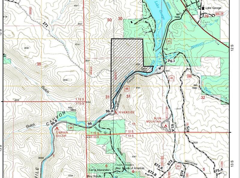
38.93995, -105.39014 Google Map · Climbing Area Map |
| Page Views: | 2,410 total · 14/month |
| Shared By: | Hans Hoffman on Jun 12, 2011 |
| Admins: | Leo Paik, John McNamee, Frances Fierst, Monty, Monomaniac, Tyler KC |
 Access Issue: Seasonal Raptor Closures January 1- July 31st, 2016-2021
Details
Access Issue: Seasonal Raptor Closures January 1- July 31st, 2016-2021
Details
For 2022: per Daniel Bryant: they did extend the order, but what I found was that the closed area does not encompass any of the common climbing areas within Elevenmile Canyon.
Seasonal Closures in effect January 1-July 31st, 2016-2021.
For details visit:
fs.usda.gov/Internet/FSE_DO…
Maps:
fs.usda.gov/Internet/FSE_DO…
fs.usda.gov/Internet/FSE_DO…
Contact phone number: (719) 553-1400.
Seasonal Closures in effect January 1-July 31st, 2016-2021.
For details visit:
fs.usda.gov/Internet/FSE_DO…
Maps:
fs.usda.gov/Internet/FSE_DO…
fs.usda.gov/Internet/FSE_DO…
Contact phone number: (719) 553-1400.
Description

It is truly amazing what can be found around the next corner with a little bit of dedication and exploring. Shangri-La is the result of local activists taking initiative and scouting for new areas. Found and equipped by Ben Schmitt in 2008, this area offers a little something for everyone. Every route has been put up with the highest quality gear and with the intention of being a secluded, tranquil, and special place for all those who visit.
You will find no trouble camping here with no fees or access issues. The classic route for this areas is Fight or Flight.
You will find no trouble camping here with no fees or access issues. The classic route for this areas is Fight or Flight.
Getting There
The following is verbatim from Ben's book: approach as for Heaven's Gate, but instead of turning right on FS 244A, continue on FS 244 which turns into a steep 4WD trail that leads to a meadow. Head through the gate, and take your first right onto FS 245. Continue on this for about 1.3 miles to park in a small aspen grove. From here, walk west down the ravine, turn right to hug the hillside after about 300 feet, and the cliff will be visible on your right.
Per Steve Johnson 1: new directions numbers have changed. Go to FS Rd 244 turn left onto 244A. The next turn is left or straight onto 244D. Then go left or straight onto 242. Once on 242, go through the gate and first right onto 245. Go 1.3 miles on the 4x4 road, and park next to the aspen grove with a lot of dead trees. Hike down the ravine until you see the rocks on the right approximately 1/4 mile. Hug the rocks for about 300 feet, look for the amazingly huge tree, and you are there.
Per Steve Johnson 1: new directions numbers have changed. Go to FS Rd 244 turn left onto 244A. The next turn is left or straight onto 244D. Then go left or straight onto 242. Once on 242, go through the gate and first right onto 245. Go 1.3 miles on the 4x4 road, and park next to the aspen grove with a lot of dead trees. Hike down the ravine until you see the rocks on the right approximately 1/4 mile. Hug the rocks for about 300 feet, look for the amazingly huge tree, and you are there.
Weather Averages
|
High
|
Low
|
|
Precip
|
Days w Precip
|
Prime Climbing Season
| J | F | M | A | M | J | J | A | S | O | N | D |
| J | F | M | A | M | J | J | A | S | O | N | D |
Photos
- No Photos -
All Photos Within Shangri-La
Most Popular · Newest · RandomMore About Shangri-La
Printer-FriendlyWhat's New
Guidebooks (13)


2 Comments