
 Continue with onX Maps
 Sign in with Facebook


Routes in Lost Temple Spire

|
NW Corner T 5.11a 6c 22 VII+ 22 E3 5c PG13 |
|
|
Separation Anxiety T 5.11b 6c 23 VIII- 23 E3 5c |

|
Southwest Arete T 5.10b 6a+ 19 VII- 19 E2 5b |
|
|
West Face Central T 5.10a 6a 18 VI+ 18 E1 5a A1 |
|
|
West NW Face Anderson-Garrett T 5.10b 6a+ 19 VII- 19 E2 5b C0 PG13 |
| Type: | Trad, Aid, Alpine, 1000 ft (303 m), 8 pitches, Grade IV |
| GPS: | 42.71127, -109.15716 |
| FA: | Peter Cole and Gustavo Brillembourg - August 25th, 1983 |
| Page Views: | 880 total · 11/month |
| Shared By: | Peter Cole on Nov 16, 2019 |
| Admins: | Mike Snyder, Taylor Spiegelberg, Jake Dickerson |

Description

I found this long ago topo written on the back inside cover of my copy of Kelsey's 1980 Sierra Club guide to the WRR. Having done this route 3 times, I'm fairly confident this is an accurate description of the route Gustavo and I took so long ago in 1983. (May he rest in peace)
Approach: Locate start about 50' down from the notch between LTS and the S Ridge of Steeple. It begins as a ledge. Move out right 30' or so and belay at the start of a ramp.
P1: Up ramp to it's end 170' 5.4-5.5 - 170'
P2: From top of small block reach up to horizontal crack. Hand traverse right (5.8) 15' to small corner. Up this and the undercling left 15' to ledge (5.9) - 75'
P3: Face climb on chickenheads left 20' past one corner and climb 2nd on up and eventually slightly right - 5.8 - 140'
P4: Surmount flakey mantle to ledge. Move right past one corner (chimney) and ascend 2nd left facing corner to ledge. - 5.9 - 130'
P5: Up a few feet then left into slightly flared left facing corner. Move up with caution past flake and belay at a small ledge. 5.9 - 80'
P6: Up right hand of two corners above to semi hanging belay. 5.10 - 80'
P7: Move right and ascend OW cracks and hand cracks to ledge below summit overhangs. 5.10 - 150'
P8: Surmount overhangs (A1) and finish at will.
Location
Over the years, I've become more fond of approaching climbs above Deep Lake by way of Rapid Creek. But on this occasion I think Gus and I took the std 'Little Sandy Trail' and setup
camp in the upper basin.
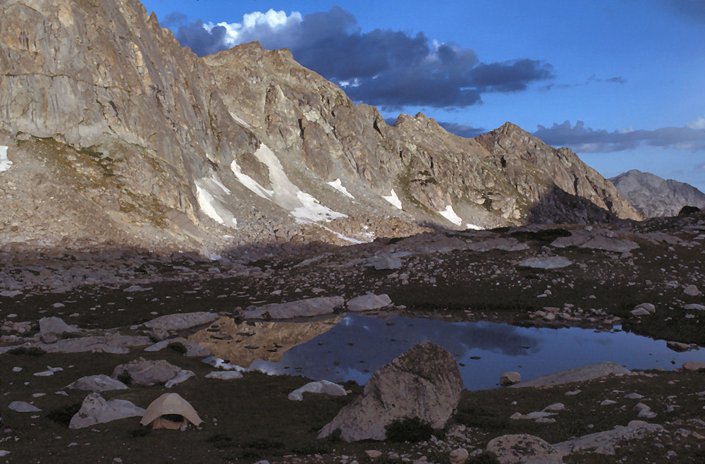
Campsite - 1983
From there we walked across ledges above the south end of Deep Lake and on up to the base of the spire. We got down quite late and had a bit of an epic finding the tent.


0 Comments