
 Continue with onX Maps
 Sign in with Facebook


curious about obscure crags in northern VT, NEK


|
|
June. possibly Tim. if so the routs might be a bit bold? |
|
|
Nick Goldsmithwrote: His name was Bob Timmer. Good guy and total under the radar crusher. |
|
|
I live near Calais and Worcester, here are some spots that I haven't been to, but looking on a map and from very far away, look like possible climbing. Wondering if anyone has been to them. 1. Hog back and stow Pinnacle. And effectively a large chunk of the Worcester range. A lot of it seems to be the most isolated cliffs possible however. 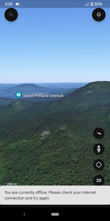 2. Continuing on the Worcester range, there is a small mountain between chases mountain and densmore mountain in Middlesex, driving along a road I noticed what looked like some cliffs way up near the summit in an isolated little area. It was literally in passing though. 3.hawkins pond in Calais. 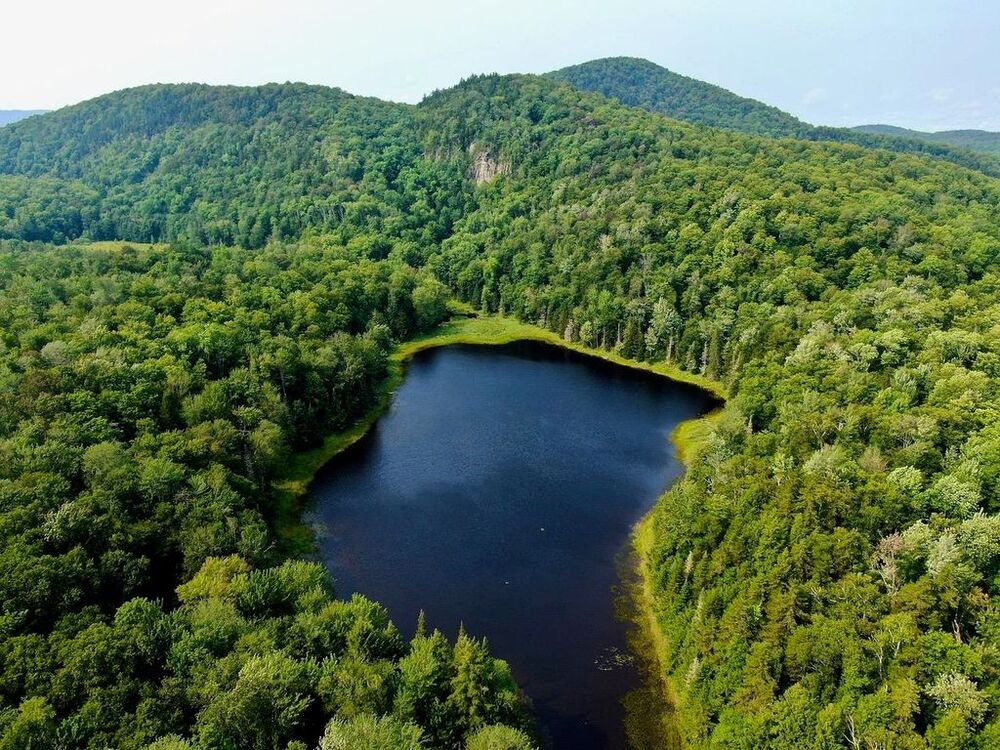 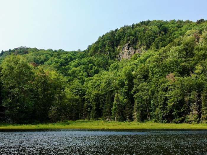 4. Carr brook by east calais, this could just be steep hills in the woods. 5. There's a possible cliff slightly south of East calais on the right side of the river coming from Montpelier. It could be the whole side of that river though. 6. Russ pond off of route 12. 7. Loveland ledge in Marshfield, near Marshfield mountain. 8. Colts pond, just below Nichols ledge. Hawkins pond and a lot of the stuff in the most range is what I'm most confident about. |
|
|
Greg, I've been to Hawkins pond. It's a super nice spot but i didn't think the rock was good or it had anything of a sustained nature for climbing. There was a cool cave though. It also didn't meet a lot of other bullet points on my criteria for a place that is worth putting in time/ effort /money to establish new climbs. . Definitely worth a walk though. Coits pond, no rock at all that I've seen. In East Calais, I believe that's basically a steep forested hillside :/ Loveland kedge, not sure if it's the place I'm thinking but it's up off the rail bed? There's a cliff there with a couple bolted routes. There is certainly some rock out there, especially if you like to hike and bushwhack, and even some good stuff. Happy hunting! |

|
While we're at it, does anyone know anything about this face off of route 9 in Searsburg? 42.88144, -72.94220 |
|
|
Anything worth while bud crystal lake? |
|
|
P Bwrote: There's a small cliff there with an exceptionally good 9+ handcrack, but if memory serves, it's on private land. It's been literally decades since I've been there, though. |
|
|
Derek Doucetwrote: Thanks, Derrek. I was having a brain fart. |
|
|
Derek Doucetwrote: It's called once upon a crack and it is most definitely on private land . Top of Stowe pinnacle has exposed rock, but not enough to climb on or even do any good boulder problems, and the top of white rocks as well. There's a slab on the east side of Mount hunger but that's free Solo material |
|
|
june mwrote: I've done a bunch of climbing on hunger and White Rock and I'd argue that it's actually fairly good. There's about 70 ft cliff most of the way up the mountain, a large exposed dome shaped cliff that averages about 50°, going right from it near the trail there's cliffs on your left, if you continue right instead of going up the first steep part of the hike there's more cliffs. White Rock also has great potential for top rope climbing along the bottom edge of its largest cliff. The rock quality is decent as far as I have climbed, but it definitely needs cleaning. It's absolutely covered in lichen and moss in certain places, I have mostly avoided that stuff.  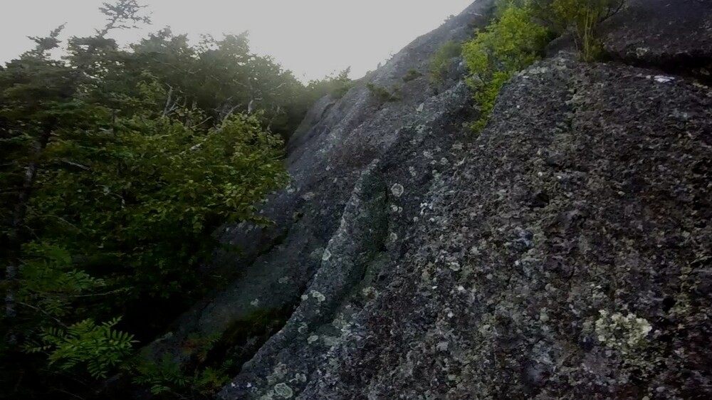 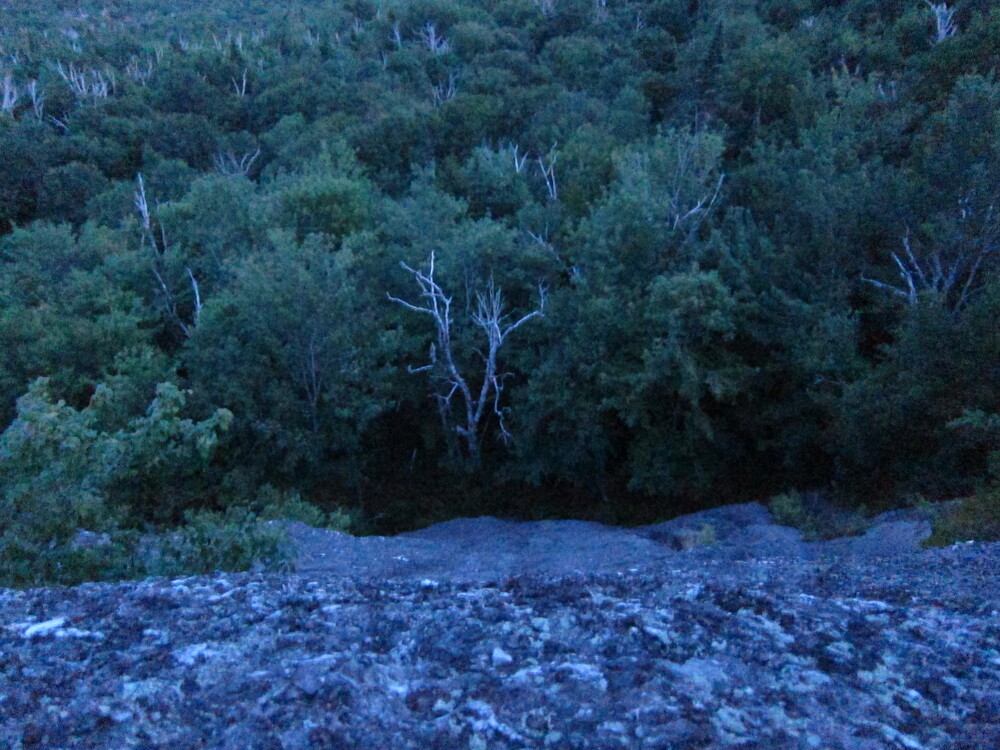 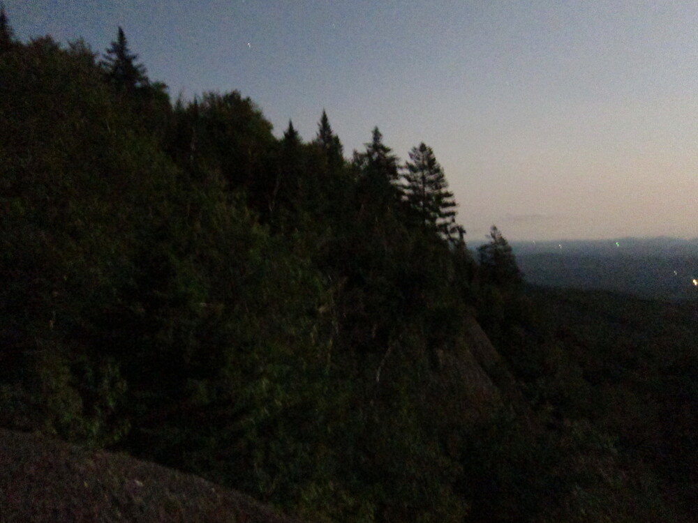 |
|
|
Greg Haywardwrote: I did some free soloing in approach shoes up there years ago. |
|
|
Anyone know of any access or history with the limestone looking cliff behind the otter valley Union high school? |
|
|
june mwrote: Some of it is certainly free solo or class four material but some of it (the stuff which is harder to get to) is good climbing. Specifically I imagine you climbed the dome slab right above where the trail turned right before it gets steep. |
|
|
One of my favorite subjects! There’s one area that I’ve been curious about. Route 100 from Granville Gulf southward. There’s a lovely hand crack just off the road, which I recall going at 10-something. There’s a cliff clearly visible from route 100 in…talcville? It’d be on the left heading south, just across from the big, green mill. Anyone have info on that spot? |

|
It's Mattwrote: Ive been in there a couple of years ago. I think the hand crack youre referring to is just north of Granville gulf. A few hundred yards south of the pull off across from the forest service road. There is also a tall bolted line in there. The rock was pretty terrible quality on all of it and I remember pulling off some significant flakes. I was on TRS so it was ok. I've also wondered about the cliff by the green mill. It's got great prominence and would be a sweet easy approach if on public land. |
|
|
I've heard the hand crack referred to as "The Rose of Granville"- not sure if that's the official name or not. The bolted lines- can't remember who put them up , but they are fun! I think there is potential in that area for more- it's just so shady and damp in that gulf that stuff is very overgrown |
|
|
It's Mattwrote: Oh, that's called the Granville crack 5.10 |
|
|
Ira OMCwrote: Ira, just went and checked out hawkins pond, it looked dirty and parts of it looked a little choss, but it looked great. Could you explain why it wouldn't be worth developing? I don't have a lot of experience developing areas.  |
|
|
This isn't quite northern VT... and I'm unclear on the land management situation. I actually think I remember seeing bolts on other cliffs in this same area. This portion has good rock, but would need cleaning, obviously. It's probably 50-60 feet high, and with space for 10 or so routes?   Google Map doesn't show it but there's a hiking trail that leads up around the outcrops above this notch, starting from the road to the northwest, I think. This was 4 years ago. Dirt road. Drive along that and look for a little parking pulloff (3-4 cars) and a wooden sign for the trailhead.  |
|
|
take TAKEwrote: Pittsford Ice Caves/Bald Peak is right there on mountain project. Try and get in touch with the folks who set stuff around there, and ask if they know anything more. Definitely not northern VT. |


