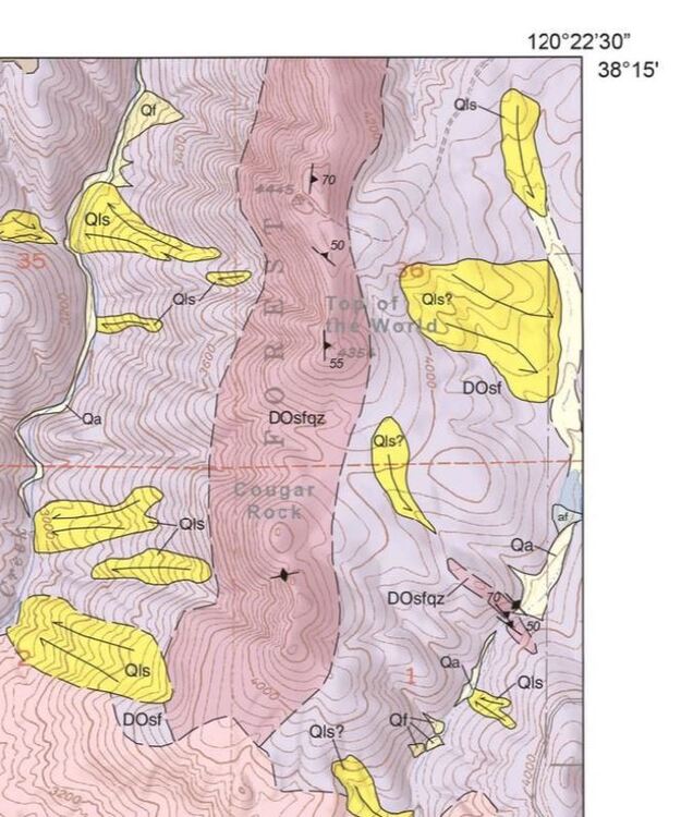
The National Geologic Map Database map viewer is a pretty slick way to find geologic mapping for almost any area in the USA. Pan and zoom or use the searchbar, then filter using the options on the left to find the most recent, most detailed mapping you can find for your area of interest. Usually 1:24,000 scale mapping is as good as you'll find but there is only limited coverage, and this database doesn't include some mapping sources like theses or unpublished maps. There isn't 24k mapping on the map viewer that covers San Antonio creek falls, but there is a recent (2020), 24k map that covers the area just south of there, including Cougar Rock:
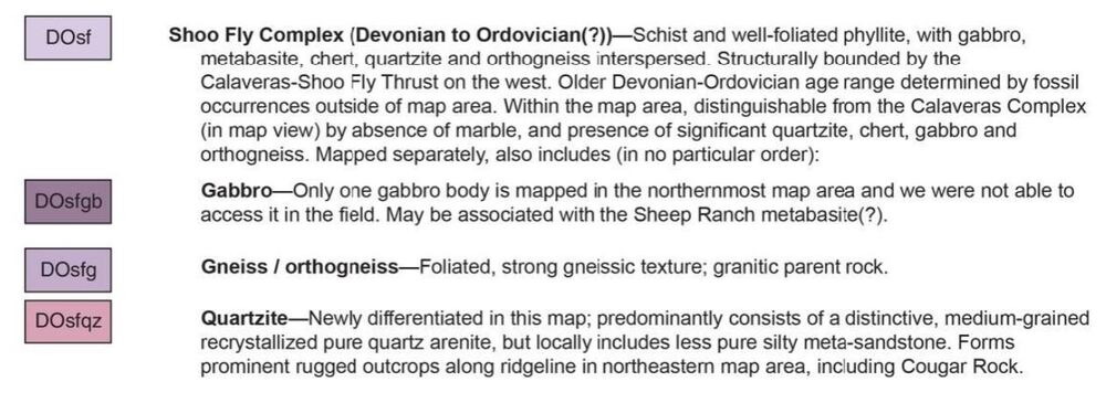
Looking at the map unit legend, you'll find that the ridgeline at Cougar Rock is indeed mapped as Devonian to Ordovician quartzite:
With a little bit of geologic intuition, you would probably expect the same rock type to outcrop at the falls along the foliation-parallel projection to the north.
Also, a nitpick from one geologist to another:
BenJamN wrote:
quartzite forms from remelted recrystallized quartz rich sandstone

 Continue with onX Maps
 Sign in with Facebook