
 Continue with onX Maps
 Sign in with Facebook


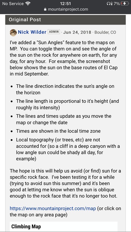
App for determining sun/shade at a specified location&time
|
|
Sport Climbing seems like the right place to post this.... Asking climbing software developers in particular:
Canyons and valleys are the main landscapes for intended use. Seems like the kind of thing that could easily exist with high enough resolution gps/elevation data, but maybe not super high demand for an easy to use publicly accessible tool? So, dear nerds, what would it require to build something like this? Or does it already exist and my web search skills are lacking? p.s. Band name: Algo and the Rhythmics. |
|
|
MP does this. Go to the map of a crag and click the sun angle box. |
|
|
MP shows the general sun angles for a given day, which generally indicates sunrise and sunset... ... but I believe that feature does *not* factor in local topology or specific gps coordinates. Eager to be proven wrong, but I just pulled up the sun angles and moved the focal point all around boulder canyon - got no visible indication they were dynamically adjusting. Definitely not able to determine if its looking like at 415 or 445 sunset at a specific location.
 (Obligatory “Do not cite the deep magic to me, witch. I was there when it was written.”) |
|
|
Caltopo.com does this well. |


|
Woah, Caltopo is pretty neat. Has a lot of Flatirons and BoCan crags already labelled. Here's Animal World projected at 9:30AM, crude but helpful. No longer need a masters degree in celestial mechanics to stay warm. 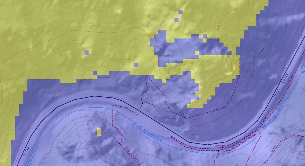 |
|
|
Adam bloc wrote: Brilliant! Thanks y’all! |
|
|
Photographers Ephemeris works quite well. |


