
 Continue with onX Maps
 Continue with Facebook


New and Experienced Climbers over 51


|
'sLori Milas wrote So where is the trail?Do not feel frustrated. I started navigation classes when I was 16, US Army taught me more navigation and map reading, being a boat captain I learned more navigation and chart reading, and then we started getting gizmo's that help. Google Earth is fun to play with also. I pay big bucks for area climbing books so I can gather some idea as to where the routes are that we wish to climb. So after 46 years of training and practical experience I still bushwack to find the crag only to spot a perfectly good climbers trail. - Is anyone climbing this summer?We are climbing weekly, either in Big Cottonwood Canyon or the Uintah's east of Salt Lake City, UT. We have a pull out couch in our RV and the motto: "You lead we feed!". We really need to start climbing more 5.8-9's We work weekends. |
|
|
Lori Milas wrote: Maybe navigation is not going to be my thing. I have downloaded Gaia GPS. I have laid out the big National Geographic topo map. I have dialed in Google Earth--and fussed with all three yesterday afternoon. I am trying to ascertain (for a practice project) where my son's property is by Kingvale Lodge, and map a hike to Lower Lola Montez Lake. The slab I wanted to climb is just ahead of the lake. (and the lake looks great for a swim). So where is the trail? I see the river bed, I see some hints of trails here and there.... Here is a map from Cal Topo that should be at least some help. Kingvale on the map is just above Kidd Lake on the other side of the main road. I used the Map Builder Topo as the baselayer, activated the Map Builder Overlay and Slope Angle Shading, and layered the USGS 7.5' topo over that at 40% transparency. (These choices were just a matter of 10 minutes of fiddling.) You can see a route to Lower Lola Montez Lake that starts as a spur off Donner Pass Road and, I think, turns into dirt and then a trail. The orange-ish blotches are the slope angle shading, and they did not pick up the slab I noted on GE. However, they did pick up some places much closer to the road that it looks as if you could contour over to from about where the Donner Road spur turns into dirt. |
|
|
Lori Milas wrote:Is anyone climbing this summer? Not in OK...... 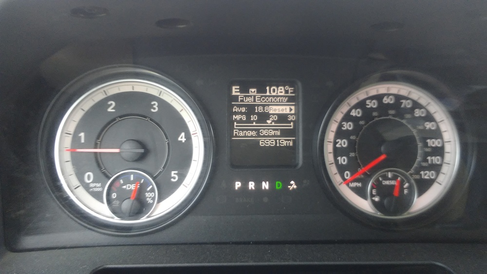  |
|
|
Google maps has the trail head marked. If you zoom there's a lot of trails visible near your son's place. Making the connection between the two may be more trouble that it's worth....... ;) 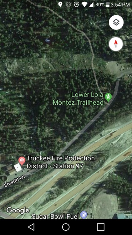 |
|
|
rgold wrote: rgold, first, thank you. You continually go way past the call of duty. Please feel free to let this go... one way or another it will eventually make sense.  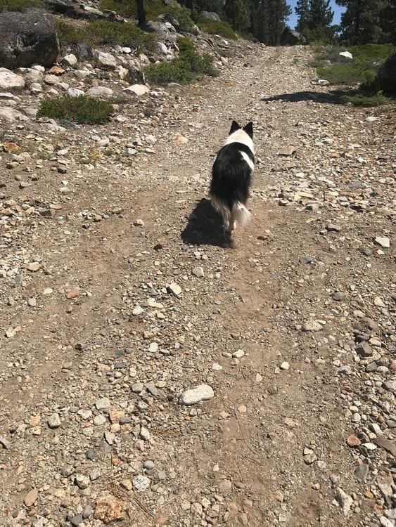 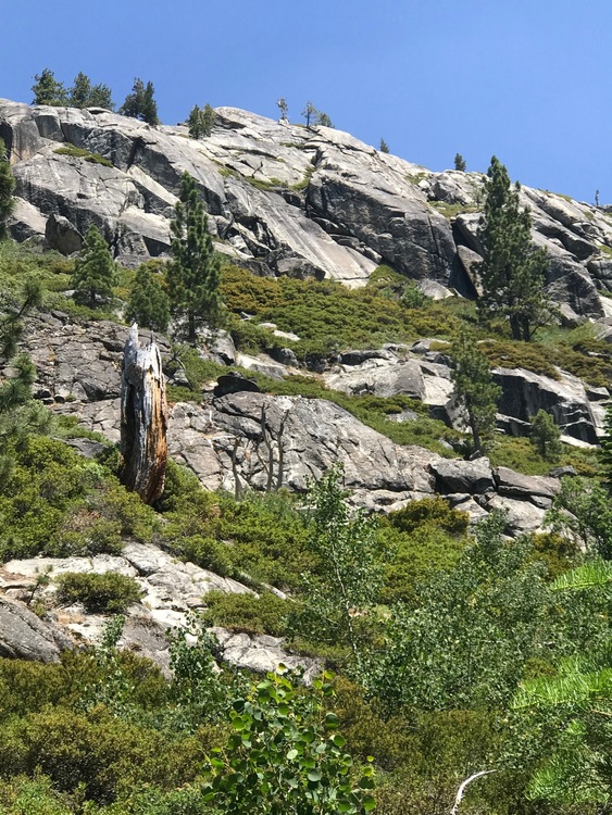 |
|
|
John Barritt wrote: Google maps has the trail head marked. If you zoom there's a lot of trails visible near your son's place. Making the connection between the two may be more trouble that it's worth....... ;) John, I think this is the way to go. Drive over to the trailhead and BOOM. I owe you guys one. Thanks. |
|
|
Lori Milas wrote:When at Tim's, go to the Compass app on your Iphone and you'll get the coordinates of his house. The range of slab/climbing in this picture is approximately 1-1/4 mile down this trail, and then hiking 1/4 mile through brush to the left of the trail. Looking at the shaded areas on your map makes this kind of confusing.I dunno, I think the shaded regions roughly fit that description... I'm wondering when we re-hike this again, if there are pictures, or readings I can take that will help me orient to this map.As I said, you can use the Compass app on your iPhone to get the coordinates of any place. The coordinates can be made into a waypoint on any of the GPS apps so that you always know what direction the destination cliff is. You can also take the Cal Topo map, save it as a GPS (all the geospatial data are recorded), and upload that into any one of a number of map programs (Avenza Maps is very simple). You then see the map on your phone with a blue dot indicating your current position. Here, from the same Cal Topo map, are the coordinates (in various formats) of the biggest "cliff blotch" on the map 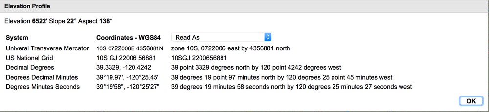 |
|
|
rgold, john, senor, and others... you've been wonderful. If I wouldn't be accused of 'over sharing' I'd say I'm a bit overwhelmed with your generous help. |
|
|
Old guy doing it on the 450... ;) 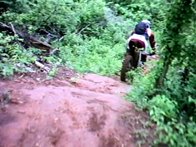 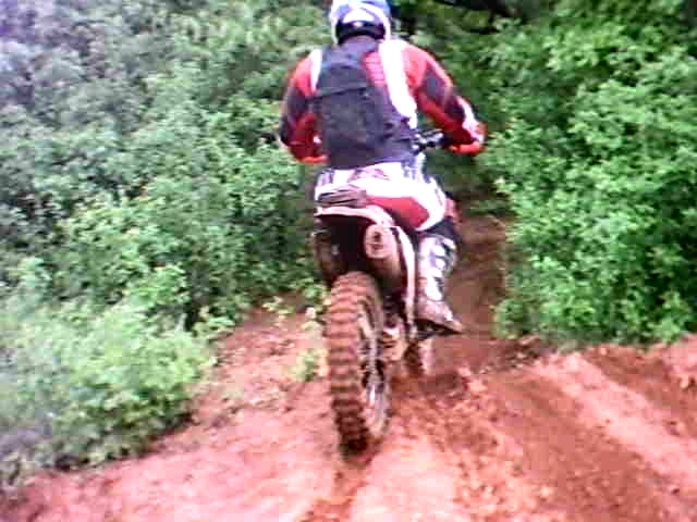 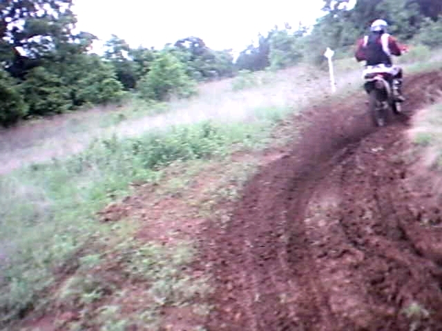 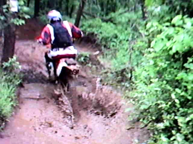   |
|
|
Lori, a noobie mistake I made when dealing with coordinates and Mountain Project was to use the incorrect lat/long format. You will want to make sure you are looking at Decimal Degrees format, basically a number, then a period, then some more numbers. In the second number always be sure you have the - (minus) sign listed or you will end up somewhere in Asia. |
|
|
One of the reasons I like my mapping GPS is I can take a copy of pretty much anything and create an overlay picture that is displayed on my GPS. It's really a convoluted process, but works great if you have a map of some place like a biking or hiking trail that is to scale. |
|
|
Nice video Dallas, but your link doesn't start the video at the beginning. It can be backed up, or else use https://www.youtube.com/watch?v=dLzvg2vnUDM (a much shorter link) instead. |
|
|
Dallas thank you for that link! As I was sitting in the GPS class yesterday with my daughter I glanced at my cell phone just as your earlier post came in. I got to ask about decimal degrees. You guys are spot on and already know this stuff so well. Really nice! |
|
|
I have a Magellan explorist 100, no base maps installed. |
|
|
Just a Sunday thought: I woke up this morning to news about one friend's double knee replacement, another's ankle fusion... several other friends simply too tired and too 'done' to ever imagine doing anything again in life. John, you look damn good on that bike! Dallas... forget about a few extra pounds... you look wonderful, and I've enjoyed daydreaming about this great life you and your wife saw, and are now doing. Senor, ditto. rgold, I don't see pictures, so we can't verify... but I bet you are as active as ever. Wendy, Helen... still climbing. Carl, still climbing. Constine... well, we have pictures. |
|
|
Fantastic crack climbing lesson with Tino last week!! After warmup worked on “Cross-Body Traffic” the green route (right) to practice cross-body tension - and it was so fun!! #crackclimbinggoals 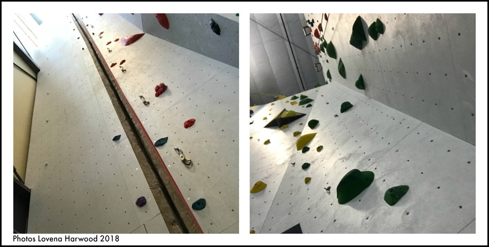 |
|
|
GPS units are designed to be useful for a very broad range of applications, and the plethora of features. makes them complicated. If you focus on what you might want to do with them, as in John's post above, you'll see that there are relatively few features you have to master to get those tasks done. Establishing waypoints, navigating to waypoints, and sometimes leaving a breadcrumb track probably covers 90% or more of the back country applications I've ever used. Most of the time, just having a map with a dot on it indicating your current location is enough information. |
|
|
Lori Milas wrote: Dallas thank you for that link!As usual Rgold had a better solution. . My sense of it was that you could literally be glued to your device when hiking—staring at the screen a lot.A common mistake. Never rely solely on a GPS. Navigational instruments are tools, they help point the way, but it is the person that has to correlate the nav instruments with the actual terrain being crossed. I would never feel comfortable relying on the Garmin in back country with no other idea how to get around. I feel sorry for the folks today that learn navigation via car GPS. They are handy helpers, but you should see some of the places my car GPS has tried to entice me to go. I never rely solely on a GPS device. |
|
|
Maybe we should all submit videos of ourselves balancing on one leg. |
|
|
wendy weiss wrote: Maybe we should all submit videos of ourselves balancing on one leg. As a member of the superannuated class, I have quite a few repaired and bionically enhanced friends (including double-knee replacees) who are actively climbing, in some cases at quite high levels of difficulty. By far the most common remark has been, "why didn't I do this years ago?" This is not to say it is a walk in the park; rehab can be long, painful, and frustrating. But most folks who want to return to high activity levels manage to in my experience. |


