
 Continue with onX Maps
 Sign in with Facebook


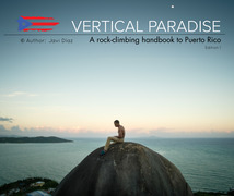
Clandestine Boulder Climbing
Use onX Backcountry to explore the terrain in 3D, view recent satellite imagery, and more.
Now available in onX Backcountry Mobile apps! For more information see this post.
| Elevation: | 9 ft | 3 m |
| GPS: |
18.50805, -67.13415 Google Map · Climbing Area Map |
|
| Page Views: | 640 total · 7/month | |
| Shared By: | Jrad Bille on Jan 29, 2019 | |
| Admins: | Heliodor Jalba |
Weather Averages
|
High
|
Low
|
|
Precip
|
Days w Precip
|
Prime Climbing Season
| J | F | M | A | M | J | J | A | S | O | N | D |
| J | F | M | A | M | J | J | A | S | O | N | D |
Photos
- No Photos -
All Photos Within Clandestine Boulder
Most Popular · Newest · RandomMore About Clandestine Boulder
Printer-FriendlyWhat's New


0 Comments