
 Continue with onX Maps
 Sign in with Facebook


Clear Creek fire...
|
|
9news
looks like it's mostly between Indian Gulch and Golden Gate. |
|
|
My buddy and I were heading down the canyon after doing some climbing on Creekside to the Canal Zone around 10:30am, and after going through tunnel 1 we noticed two fire and one police vehicle on the creek side of the road. It appeared they were looking down into the river so we didn't really think too much of it. After we parked the car and opened the doors we were hit with the thick smell of smoke turned around and there was the fire starting up in the first ravine east of tunnel one on the North side of the highway. We decided to go ahead and head to canal zone (the wind was coming from the west with some gusts I would guess in the teens). By the time we got to the wall the fire had allready consumed the East side of the ravine and was moving fairly fast. We still felt safe and climbed on. Within a couple of hoours the wind had switched directions and had burned the entire ravine on both sides to the tops of the mountains and was sending ash on us. We noticed that there weren't any vehicles other than Emergency personnel. So decided to call it a day. There were probably a couple hundred personnel parked on the road. But only saw two walk up the mountain the whole time we were there. The fire is going to be tough to fight givin the terrain. I don't think any structres were being immediatly threatened. Here are some pics.  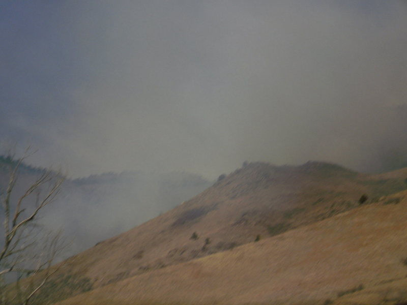  |

|
We saw smoke in the vicinity of Canal Zone when we were driving up canyon around 10:30 am or so...we climbed at Cat Slab for several hours, and by about 3 pm the air there was pretty smoky. Rt 6 was closed at the junction with 119 so we had to take I-70 back to Denver. |
|
|
David is that pic from Sunday? I believe today when I was in Golden today the mountain in the middle of your pic had pretty much burned. |
|
|
Does anyone know if it's possible to access Clear Creek Canyon? Are any of the crags closed due to the fire? |

|
The canyon is open, and I don't think any crags are close to the fire. Hipster is probably the closest crag to the fire. Really sad, I can see the fire growing from my front door... |
|
|
Looks like I might be headed that way tomorrow. |
|
|
here are a few pics from the first night   |
|
|
This is a link to the JeffCo Sheriff's page regarding the fire. They have updated it with a map of the fire area (as of yesterday.) FYI! |
|
|
Anyone know about closures??? |
|
|
Kbird that is a great link thanks. Anyone seeking closures or really any info should check out that link. It appears that the newest info starts at the top and works down, on the left side of the page. Looking at the map it doesn't look like any of the crags are in immediate danger of being shut down, but I can tell you just climbing at canal zone for a few hours on sunday when the fire was just starting definatly got to my eyes and throat. Keep an eye on the Wind direction if you go it changes quick up there. |
|
|
We were able to get to Wall of the 90's alright Monday afternoon, looks like 6 is closed now though while they drop some water on the fire |


