
 Continue with onX Maps
 Continue with Facebook


A Request for Guidebook Authors


|
I realize authoring a guidebook is a thankless, time consuming, semi-massive effort and applaud anyone who takes on the task. Having just returned from a trip using a relatively newly published second edition of the guidebook to the area, I have a suggestion/request: |
|
|
Trad lines often have clear features to use when describing them. Sport lines, though, more often don't. Yes, a good idea -- but it can be hard to do. Even a picture can sometimes not help all that much if the rock doesn't have much in the way of large/distinguishing features. |
|
|
Supertopo's way of actually drawing the features on the wall/ base I think is the best way to do it. |
|
|
I'm still unclear on "left-facing" -- it could be a route that goes to the right, but the corner itself faces to the left? So confusing to me. |
|
|
What can you do. I know a couple folks that have pretty much made some of my new guidebooks obsolete with all their route contributions. haha |
|
|
If you walk into a left facing corner/diahedral when facing the main part of the wall, the corner is on your right... here is my favorite left facing corner: |
|
|
Russ Keane wrote:I'm still unclear on "left-facing" -- it could be a route that goes to the right, but the corner itself faces to the left? So confusing to me.What's so confusing about a corner than faces left but has a rightward lean in relation to vertical? |
|
|
Why does it "face" left? It actually "goes" right. |
|
|
Russ Keane wrote:Why does it "face" left? It actually "goes" right.Ignore where it "goes" - that's irrelevant. Are you also confused by north facing, east facing, etc? |
|
|
Two related gripes: |
|
|
No, the points of the compass are not up for any arbitrary distinctions. The fact you have to "ignore" the way a climb goes, and focus on how the one side of the corner faces, is the confusing part. I'm looking at the damn thing in terms of what direction the climb will go: If it goes to the right, I find it a bit quirky if its description uses the word "left". |
|
|
Russ Keane wrote:I'm still unclear on "left-facing" -- it could be a route that goes to the right, but the corner itself faces to the left? So confusing to me.Can you give an example, like an actual route description in a guidebook? I've found that most of the time, left-facing and right-facing describe dihedrals. For a left-facing corner, one side of the corner will actually be the plane of the main wall, and the other side of the corner will be facing to the climber's left. Left assumes that you're looking at the climb while facing the wall. This is what is meant by "climber's left" or "climber's right", etc. |
|
|
Benandstuff wrote:2.) Describing routes with respect to other routes, especially when you get route "description chains" going.Something I found immensely annoying in the approach directions in the MP app at Red Rock last week. Say we're going to crag Z. On the way we pass crags X and Y. The MP app says: "To get to Z, follow the directions to Y and go up the wash on the left." So you then look up the directions to Y: "Follow the directions to X and then....." So I get to look up crag X as well. |
|
|
Marc801 wrote:... I have a suggestion/request: When describing the routes on a crag, especially a newly developed sport crag, please refer to natural features to locate a route and refrain from things like "the furthest left line of bolts". That works great, until someone comes along and adds 3 bolted routes to the left of the original "leftmost" line.Marc, I totally agree with you. BITD I remember wandering around for hours in the SPlatte trying to find the CRAG (much less the route) I wanted to climb!! And as a guidebook author climbcaymanbrac.com/climbin… my comment is that it's sometimes very difficult to find/describe natural features to locate sport routes. For example, consider the Wave Wall: 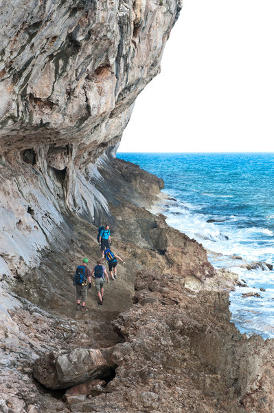 Besides the two stalactites in the photo, there are very few distinguishing features to use to locate routes. Photos are distorted since you'd need a boat to get good photos with a "normal" lens. I've tried to mark/tag a few routes but this wall is baked in the sun every morning and gets hit by 50' waves during tropical storms. Nothing lasts, so you're relegated to describing streaks, colorful rock or caves. I'm open to suggestions for durable markings! At the Point, (SEE GUIDE) where you have to rap in, I've built cairns and put yellow tags on select routes to orient climbers since you can't see the routes. If you notice, I've included a photo of Edd's Place taken from a boat, but while this gives you a flavor for the route, it doesn't help you find it at all. So I agree, it's not always easy. |
|
|
I like when there are references to specific things, and number of feet from that. For instance, "Look for a sharp flake at waist level; start 5 feet right of that." |
|
|
I enjoy the good old, "This route is the next route over from X". Go to description of X, "This route is the route just left of ...." and on, and on... |
|
|
Bold Text
John Byrnes wrote: I'm open to suggestions for durable markings!What about using self engraved dog tags that you can make on a machine at places like PetSmart? They should be durable enough, and they can be hung on the first bolt of the climb. (Waits to get flamed for this. Lol!) |
|
|
Magpie79 wrote:Bold Text What about using self engraved dog tags that you can make on a machine at places like PetSmart? They should be durable enough, and they can be hung on the first bolt of the climb. (Waits to get flamed for this. Lol!)Maybe, I'm doubtful. I assume these are aluminum and you stamp your dog's name in them? Since the first bolts are a move or two up, they'll be hard to read without actually getting on the route. They might survive a tropical storm.  |
|
|
Magpie79 wrote:Bold Text What about using self engraved dog tags that you can make on a machine at places like PetSmart? They should be durable enough, and they can be hung on the first bolt of the climb. (Waits to get flamed for this. Lol!)There's a scruffy little crag in Draper UT that was developed by a dentist. He made and placed little name/grade tags at the base of each route. The area photo on MP is a composite of those tags:  |
|
|
Marc801 wrote: There's a scruffy little crag in Draper UT that was developed by a dentist. He made and placed little name/grade tags at the base of each route. The area photo on MP is a composite of those tags:I like the names ;-) And this has given me an idea. Use the dog-tag idea but instead of some mechanical attachment, glue them directly onto the rock with the same glue I use for the bolts. Maybe every 4th route or so. This way they're at the right height to see easily, they don't swing against the rock in the wind/waves, no screws/cord/cable to corrode and/or break... |
|
|
Marc801 wrote: Something I found immensely annoying in the approach directions in the MP app at Red Rock last week. Say we're going to crag Z. On the way we pass crags X and Y. The MP app says: "To get to Z, follow the directions to Y and go up the wash on the left." So you then look up the directions to Y: "Follow the directions to X and then....." So I get to look up crag X as well.Have some examples that could use updating ? I'm all about trying to overhaul some of the RR pages . |


