To save paper & ink, use the [Hide] controls next to photos and comments
so you only print what you need.
Pinto Basin
California
> Joshua Tree NP
 Access Issue:
 Climbing Regulations/Seasonal Raptor Closures
Details
The Joshua Tree National Park Superintendent's Compendium states that:
1. Vegetation is not allowed to be used as an anchor.
2. Only neutral or rock colored bolt hangers are allowed.
For a complete list of climbing rules and closures visit:
nps.gov/jotr/planyourvisit/…
Description
Pinto Basin is the antidote to the hustle and bustle of the more popular areas to the west and offers enjoyable climbing, including some classics, in an area with a decidedly different feel than other areas in the Park, especially at some of the more remote crags.
Getting There
- Access from the north via the town of 29 Palms
- Access from the west, from the main part of the Park, and the town of Joshua Tree
- Access from the south via Interstate 10 and the Cottonwood Entrance.
Please see the individual areas for more detailed approach information.
![The Arch.<br>
Photo by Blitzo.]()
[Hide Photo] The Arch. Photo by Blitzo.
![A dam with high water just a short walk south of the Live Oak Picnic Area. 16 Feb 2019.]()
[Hide Photo] A dam with high water just a short walk south of the Live Oak Picnic Area. 16 Feb 2019.
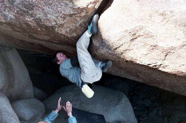
![Kicking up into the crux. Photo by Jason Kruk.]()
[Hide Photo] Kicking up into the crux. Photo by Jason Kruk.
![Looking towards Pinto Basin from near White Tank CG, Joshua Tree NP]()
[Hide Photo] Looking towards Pinto Basin from near White Tank CG, Joshua Tree NP


 Continue with onX Maps
 Sign in with Facebook