
 Continue with onX Maps
 Continue with Facebook


All Locations >
Utah
> Wasatch Range
> Central Wasatch
> Little Cottonwo…
> Boulders - Litt…
> Secret Garden
The Island Bouldering
Routes in The Island


|
Crystal Vein, The V4 6B R |
|
|
Huxtable Pogey V8-9 7B+ |
| Unsorted Routes: | |
Order Wrong?
Sort Routes
Use onX Backcountry to explore the terrain in 3D, view recent satellite imagery, and more. Now available in onX Backcountry Mobile apps! For more information see this post.
| Elevation: | 5,659 ft |
| GPS: |
40.57311, -111.77233 Google Map · Climbing Area Map |
| Page Views: | 1,620 total · 32/month |
| Shared By: | Aden Parker on Feb 25, 2020 |
| Admins: | Andrew Gram, Nathan Fisher, Perin Blanchard, GRK, D C |
 Access Issue: UDOT will ticket cars parked on the south side of the canyon opposite the Secret Garden bouldering area.
Details
Access Issue: UDOT will ticket cars parked on the south side of the canyon opposite the Secret Garden bouldering area.
Details
During the SCLA/Access Fund Adopt-a-Crag Event (Fall 2007), climbers built a new trail from the Little Cottonwood Park-and-Ride. The trail provides easy access to lower canyon bouldering and climbing at the Bongeater and Crescent Crack Buttresses. To avoid traffic problems on the highway and tickets from the Utah Department of Transportation, please use the Park-and-Ride parking to access lower canyon bouldering and climbing. UDOT will ticket cars parked on the south side of the canyon opposite the Secret Garden bouldering area.
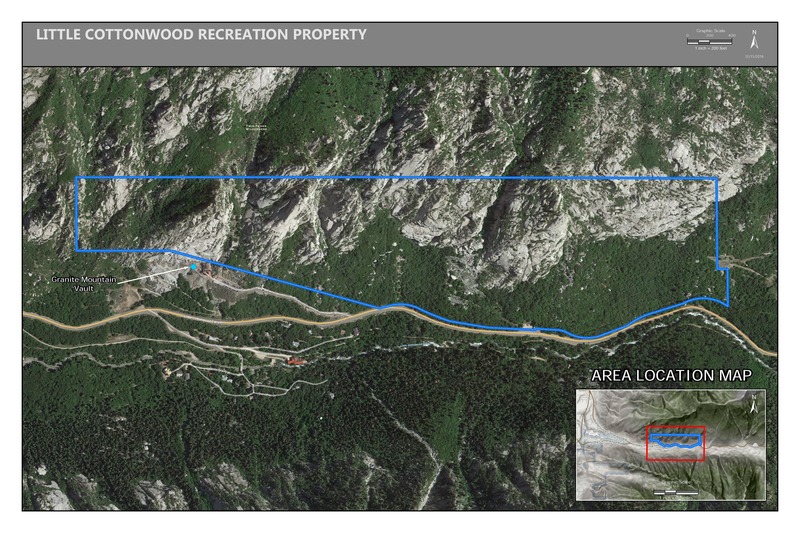
Access Issue: Gate Buttress Area Recreational Lease: Climbs on Church Buttress above vault remain closed
Details
Climbers Partner with LDS Church on Stewardship of Little Cottonwood Canyon Climbing
June 1st, 2017:The Salt Lake Climbers Alliance (SLCA), the Church of Jesus Christ of Latter-day Saints (LDS Church), and Access Fund announce the signing of an unprecedented lease for 140 acres in Little Cottonwood Canyon (LCC). The parcel, known as the Gate Buttress, is about one mile up LCC canyon and has been popular with generations of climbers because of its world-class granite.
The agreement secures legitimate access to approximately 588 routes and 138 boulder problems at the Gate Buttress for rock climbers, who will be active stewards of the property. The recreational lease is the result of several years of negotiations between LDS Church leaders and the local climbing community.
Access Note: The climbs on the Church Buttress above the vault as well as the Glen boulders that have been traditionally closed will remain closed.
Please help us steward this area and leave no trace.
Read More:
saltlakeclimbers.org/climbe…
Weather Averages
|
High
|
Low
|
|
Precip
|
Days w Precip
|
Prime Climbing Season
| J | F | M | A | M | J | J | A | S | O | N | D |
| J | F | M | A | M | J | J | A | S | O | N | D |
Photos


All Photos Within The Island
Most Popular · Newest · RandomMore About The Island
Printer-FriendlyWhat's New
Guidebooks (10)


0 Comments