Washington
> Northwest Region
> Hwy 20 & N Casc…
> N Cascades
> Chilliwack Range
 Access Issue:
 Seasonal Raptor Closure at Newhalem Crags March 1st to mid-July
Details
Peregrine falcons select nest sites on cliffs in the Upper Skagit Valley, including the Climbing Management Areas of Newhalem West (Ryan’s Wall) and Newhalem East. As required in the NPS Superintendent’s Compendium, these areas will be closed to all public from March 1st to July 15th of each year, or until the young falcons have fledged or NPS staff have determined that nesting will not occur on a specific wall during this period. Access Fund, Washington Climbers Coalition and NPS partner on a volunteer raptor monitoring program to determine nesting activity. Contact the NPS and/or WCC for updates.
Remote and seldom visited, Bear harbors some outstanding alpine climbing with a classic Cascadian adventure feel.
Access to Bear is difficult and you will likely require at least a strenuous day-long hike from any direction.
Option 1: From the US, cross the border into Canada and head to Chilliwack lake. Take the Chilliwack lake service road around the east shore of the lake as far as you can, and park just before a closed gate at a bridge. Hike to the south side of the lake, then gain the flagged trail heading south back across the border running adjacent to the Chilliwack River. This trail eventually becomes overgrown and difficult to follow the closer you get to the border. While it previously was a viable option to hike this all the way to bear creek camp, as of 8/2016 the Cascadian jungle had reclaimed much of the trail and it deteriorated into bush bashing and devil's club thrashing just north of the border (gloves helpful for devils club). When the going gets too difficult you can 1) continue the bashing and hope that you eventually find the trail again or 2) if the water level is low enough, abandon the trail, take off your pants, and wade the river (dedicated water shoes recommended) several miles to Bear Creek Camp (GPS helpful to find camp from river as it splits near there - coordinates 48.964854, -121.386787). Refill water here. Exit bear creek camp on the trail and look for a lightly cairned and flagged trail heading up the ridgeline to the east. Ascend this trail for approximately 3000 feet until you reach the treeline at 5200' above Ruta lake. (Note - some of the "trail" is simply bashing through huckleberry bushes the 'schwack is so rough that my normally stalwart climbing partner suggested abandoning the mission at that point). Continue climbing the ridge until you can traverse right on the south slopes beneath points 6592 and 6822. Drop into the basin below the Bear Mountain Saddle and boulder hop to nice camping at ~6500 feet. There are some semi-permanent snowfields here that should provide meltwater until later in the season. One should also note that this is located in the North Cascades National Park and technically requires a backcountry camping permit to access.
Approach trail while still in Canada
Approach trail near the border
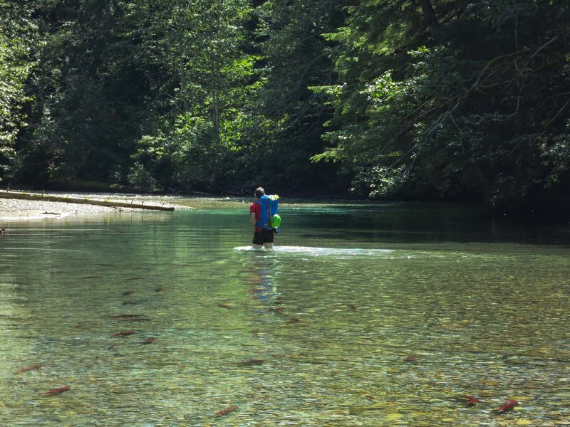
Wading the river en route to bear creek camp
Huckleberry schwack towards ridge above Rupa Lake
Ridge above Ruta Lake
Approach map courtesy of Steph Abegg
Option 2: For access without any legality issues and easier access to camping permits, one can start at the Hannegan Pass trailhead and connect with the Chilliwack Trail heading north towards the Canadian border until you reach the Bear Creek camp (roughly 17 miles). At the Bear Creek campground find the lightly cairned trail leading up the ridge and follow the description above.


 Continue with onX Maps
 Continue with Facebook


Vancouver, BC
cascadeclimbers.com/forum/u… Aug 10, 2017