Colorado
> Estes Park Valley
> CO Hwy 7 & Tributaries
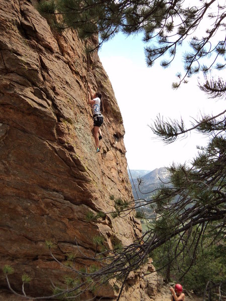
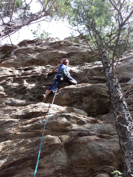
This is a pleasant set of fairly short cliffs that lie on our National Forest land offering some pleasant moderates protected mostly with bolts. Some of the rock here is fairly atypical for the area with at least one section with interesting, wavy huecos on granite. The rock reminds you of some of the Ironclads in spots (on the upper cliff) and also some of the south and west faces in the Flatirons or even some of the less steep rock of Red River Gorge (on the middle cliff). The rock is still somewhat friable in spots even though these routes have been in for a few years, so be prepared. You can access some of the anchors from above, if you so desire. These are good crags for kids and families; however, the smallest of kids may not be able to climb the bolted lines.
Some of the developers of these crags include
Rich Perch,
Dan Hare, Tom Kohlman, Roland Fortin, Chris Reveley, Susan Day, Roger Truesdale, Byron Prinzmetal, Deb Thompson, Dave Rogers, and Jackie Paik. Thanks!
Thank you, Rich, for helping start to update this information!
Since it is just off a relatively popular low-end hiking trail up Lily Mt (2 miles, 1000' gain), you will get some non-climber questions like "how did you get the rope up there?" Still, for a change of pace, short approach, or after work relaxation, you may find this worth the effort.
On a foreward thinking note, the parking area for Lily Mountain's hiking trail is a crowded, roadside parking area. Please, please do your best to be reasonable with climber - non-climber interactions so as not to jeopardize our access to these crags.
Also, it is to avoid conflicts with land usage, it's probably wisest to avoid bolting in plain sight of the trail. If you have more information, please contact me and I can update this incomplete data. Thanks!
There are 2 approaches to these crags:
A. The most straightforward is to park at the Lily Mt. trailhead which lies on CO 7 just north of Lily Lake and south of Estes Park. The parking is roadside. The hike is largely flat for ~3/4 mile. Just after a S-shaped set of switchbacks and then a Z-shaped set of switchbacks, the uphill-most cliff appears just feet away from the trail.
B. (now closed) The other approach involves following a trail (formerly bushwhacking) along a section that was cleared for fire mitigation. Park shortly after mile marker 5. There are 2 small pullouts. The first is on the east side of the road. The second (smaller) is on the west side. Hike up shortly west of the east parking pullout just past a yellow left curve sign. If you get to a rockcut, you've gone too far south. Hike up perhaps 300 vertical feet to the crags. You will see
My Grain Headache as you get closer.
This is the uphill-most crag, and it lies just downhill from the trail.


 Continue with onX Maps
 Continue with Facebook