To save paper & ink, use the [Hide] controls next to photos and comments
so you only print what you need.
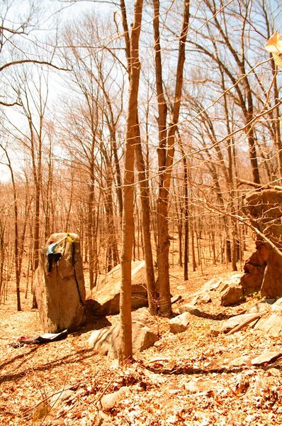
Hurd Park
Connecticut
> CT Bouldering
Description
Hurd State Park features some wonderful climbing in an area that is lacking just that. The boulders are not condensed, however there are distinct areas with multiple climbs of different grades at each. There is a general ~3 mile loop you can walk and see 90% of the bouldering here, only about 3/4 of which is on a well marked trail BUT it is not hard to find your way!
I started climbing here with a friend a few years ago thinking there was no history here, but I recently met a guy who explained to me that this area was climbed at long ago by himself and a friend who also put up a bunch of routes at Cannon or Cathedral (can't really remember).
So, I'll add what I know piece by piece with respect to what I remember hearing from that friendly fellow, but most of the names and such are just what we had come up with a few years ago.
The rock quality here ranges from perfect to sandy, sharp, and entirely undesirable. The climbing itself is diverse with a good amount of potential....there is even some potential for a good .11 sport route.
Getting There
Directions copied from the DEP's website:
From the North: I-91 south. Take Exit 20 (left exit) onto Route 9. Take a right onto Route 66 and follow Route 66. Take a right onto Route 151. Hurd State Park is on the right.
From the South: I-95 north. Take Exit 69 onto Route 9 north. Take Exit 7 and proceed on Route 82 across the East Haddam Bridge. Continue on Route 82 and take a left onto Route 151. Follow Route 151. Hurd State Park is on the left.
From the East: I-395 South to Route 2. Follow Route 2 west to Route 16. Follow Route 16 west to Cobalt. Take a left onto Route 151. Follow Route 151. Hurd State Park is on the right.
From the West: I-84 east. Take Exit 27 onto I-691. Follow I-691, which becomes Route 66. From Route 66 take a right onto Route 151. Hurd State Park is on the right.


 Continue with onX Maps
 Continue with Facebook


Abovetraffic on Hudson
[]started climbing here with a friend a few years ago thinking there was no history here, but I recently met a guy who explained to me that this area was climbed at long ago by himself and a friend who also put up a bunch of routes at Cannon or Cathedral (can't really remember[]
Was it John Strand that "that friendly fellow" was talking about or was it J Strand (Slabbo) himself?
Hey "Guy Bon" sorry to have tried to light you up, but if y'all are gonna ignore the challenges Ive shared, I' feel free to flame ya!
CLIMB ON! Apr 4, 2017