
 Access Issue: Located in a National Forest Fee Area
Details
Access Issue: Located in a National Forest Fee Area
Details
Hayden Peak is located on the Mirror Lake Highway. It is the unmistakeable peak that dominates the view to the East from Bald Mountain Pass. No hiking trail exists according to the Forest Service. The South Ridge seems to be the most used route to the summit and may be the Uintas best day hike. Expect lots of 4th class scrambling, some of it may be exposed depending on the route taken.
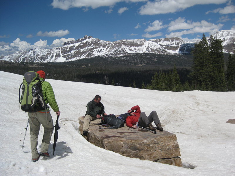
Park at the Highline Trailhead in the Hikers parking lot. Locate a climbers trail to the northeast of the bathrooms. There is a tall twin tree stump that is visible from the parking lot looking to the east. This is your trail marker. Follow this trail through the forest alternating between traversing to the north and climbing up to the east. At treeline head up a shallow gully that is often snow covered until mid-summer. When the gully steepens, look for cairns and a trail heading north and switchbacking a few times before continueing its northward traverse. Cross a wide couloir and follow a rough trail up its left side, at the top head north across a short boulder field and onto a ledge system that traverses the west face. Make your way up to the cliffs. 1 hour approach.
In my opinion Hayden Peak is home to some of the best multi-pitch climbing in the Uintas. There is a lot of adventure to be had in a very nice setting. This is a summertime crag to be sure. Climbing on the multi-pitch routes in anything but the nicest weather can be a chilly experience for the unprepared.
A few notes on Hayden Peak climbing.

 Continue with onX Maps
 Sign in with Facebook


If you're in the lower parking lot, head to the bathrooms, then head due south to find the tree stump. Once you're on the trail it's super easy to follow. Jul 13, 2015
Evanston WY