The Joshua Tree National Park Superintendent's Compendium states that: 1. Vegetation is not allowed to be used as an anchor. 2. Only neutral or rock colored bolt hangers are allowed.
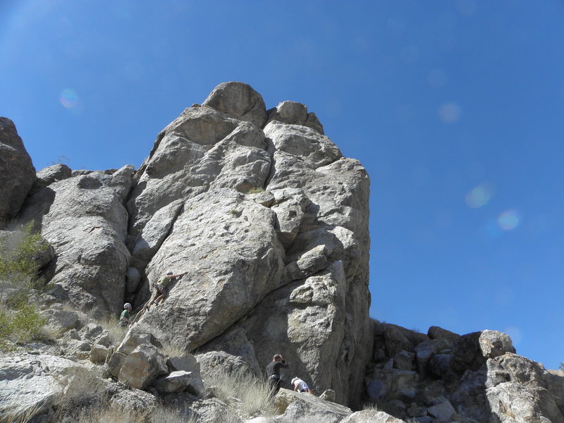
This climbing area is on the hillside and nearby hidden valleys just southwest of 29 Palms. The PETA Crag can easily be seen from the Del Taco in 29 Palms on Hwy 62 (near the Motel 6). The Peta Crag has 6 climbs. The PETA Crag is about a 45 min. hike. Well worth a day's visit.
Getting There
Drive and Park on side streets which lead directly to the crag, which can be seen from the Del Taco in 29 Palms. Do not use Mesquite Rd., As the owner of the house at the end of Mesquite does not want climbers or hikers driving up the dirt road which she says goes on her property. Use a different road to access the crags, and be curtious and polite to the property owners in this neighborhood.

 Access Issue: Climbing Regulations/Seasonal Raptor Closures
Details
Access Issue: Climbing Regulations/Seasonal Raptor Closures
Details

 Continue with onX Maps
 Continue with Facebook