
 Access Issue: Private property all along the old access road. DO NOT BLOCK GATES OR DRIVEWAYS.
Details
Access Issue: Private property all along the old access road. DO NOT BLOCK GATES OR DRIVEWAYS.
Details
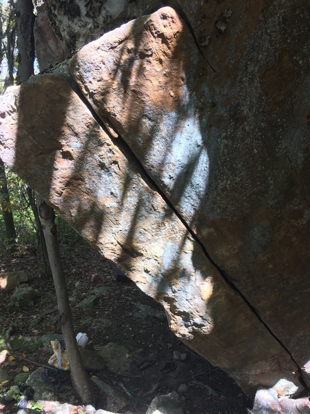
Take Rte 33W from Harrisonburg to Rawley Springs. Wind through the S curve above the river. Park at the pullout just past Second Mtn Rd and walk East along Route 33. About 50 yds past the clearing and home on the north (westbound) side of the road, climb the bank at a boulder and cut through the forest to intersect an old game and hunters trail heading right. This will bring you out past the Dyno Cave, Rook Towers, and the Stigmata cracks to reach the Satellite Ranch.
The boulders are divided into two main groups: the Satellite Ranch and the Ridge Boulders. During the summer the Ridge Boulders are harder to find through the thick canopy, though only a few minutes further up the fire road on the right.
The highest concentration of routes are at the Satellite Ranch, located directly on the shoulder of the fire road just above the last S curve.

 Continue with onX Maps
 Continue with Facebook


Gnarnia
Boone, NC
This includes for the rocky run parking lot detailed here.
Or maybe I am missing something? Oct 21, 2017
Smoke Hole Canyon
The North River Ranger District advises that instead of using a direct and easy approach on a road created and maintained by decades of tax dollars, you instead drive out Route 612/and then take 4WD Long Run Road to the point where you can leave your parked vehicle in the backcountry and hike about five miles on an overgrown fire road to reach the boulders.
I guess you can park at Blue Hole and hike up to Slab City and from there to the top. Wear bright orange. Nov 9, 2018
Hell
Smoke Hole Canyon
Hoping to get over there this spring and start contacting landowners and reopening some of the overgrown trails to the Valley's amazing bouldering areas. Jan 18, 2020