To save paper & ink, use the [Hide] controls next to photos and comments
so you only print what you need.
Carson's Tower
Utah
> Southeast Utah
> Fisher Towers
 Access Issue:
 RAIN, WET ROCK and RAPTOR CLOSURES: The sandstone around Moab is fragile and is very easily damaged when it is wet. Also please ask and be aware of Raptor Closures in areas such as CAT WALL and RESERVOIR WALL in Indian Creek
Details
WET ROCK: Holds rip off and climbs have been and will continue to be permanently damaged due to climbers not respecting this phenomenon. After a heavy storm the rock will remain wet, sometimes for several days. PLEASE DO NOT CLIMB IN MOAB during or after rain.
RAPTOR CLOSURES: please be aware of seasonal raptor closures. They occur annually in the spring.
Description
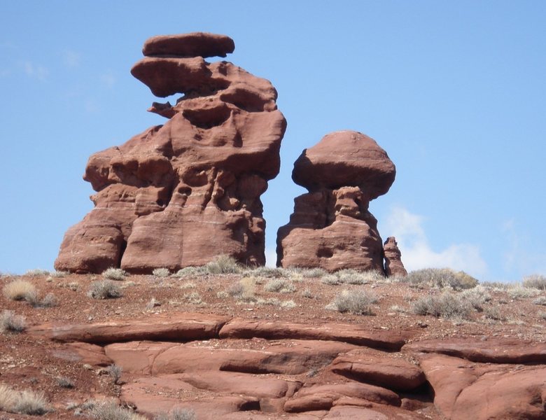
This is the tower that stands way out by itself to your left as you're driving on the dirt road that leads to the Fisher Towers. The established routes are on the east side of the formation.
Getting There
I don't have good, exact beta on how to get to the tower. I parked in the Fisher Towers parking lot and walked back down the road for 10 or 15 minutes. Then I cut right (cross-country) to the tower, following washes and dry streambeds when possible. It took a while because there is a ton of cryptobiotic soil on the approach that had to be skirted.
If anyone has better approach beta, please post up and I will replace this.
GPS: 38.73528, -109.31794
Routes from Left to Right
| Route Name |
Location |
Star Rating |
Difficulty |
Date |
|
●
Original Route
|
|
|
5.7 5a 15 V+ 13 MVS 4b
Trad
|
|
●
Sand In My Pants
|
|
 2
2
|
|
5.8 5b 16 VI- 15 HVS 4c C2
Trad, Aid
|
![Victory firecracker in summit register bottle.]()
[Hide Photo] Victory firecracker in summit register bottle.
![Carson's Tower from the Fisher Tower parking lot.]()
[Hide Photo] Carson's Tower from the Fisher Tower parking lot.
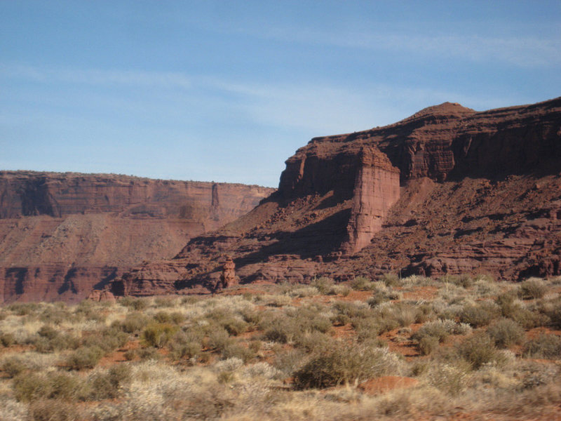
![Carson's Tower (with River Tower in the background) from the dirt road that leads to the Fisher Towers.]()
[Hide Photo] Carson's Tower (with River Tower in the background) from the dirt road that leads to the Fisher Towers.


 Continue with onX Maps
 Sign in with Facebook


Pocatello, ID
Durango, CO