
 Continue with onX Maps
 Continue with Facebook






Use onX Backcountry to explore the terrain in 3D, view recent satellite imagery, and more. Now available in onX Backcountry Mobile apps! For more information see this post.
| Elevation: | 155 ft |
| GPS: |
44.80612, -68.5403 Google Map · Climbing Area Map |
| Page Views: | 217,450 total · 1,148/month |
| Shared By: | BDalhaus on Oct 5, 2008 |
| Admins: | BDalhaus, Ladd Raine, Jonathan S, Robert Hall |
Description

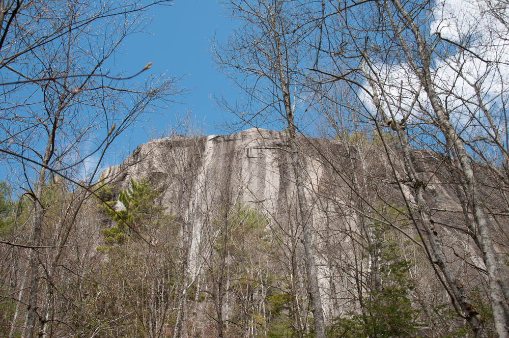
The town of Clifton is nestled in the rolling hills just east of Bangor & is home to some of the finest crags in the state. Travelling climbers don't tend to stop in on their way to Acadia, so the Clifton area remains a sort of local secret. Rock is scattered across the map in a swath running from Aurora down through Dedham and beyond. On a good day, the peaks of Chick Hill and Fletcher's Bluff are visible in the distance from the west and make up two of the four main roped climbing areas with the other two being Parks Pond and Eagle's Bluff. Alongside the cliffs are also a number of bouldering areas, some with excellent access and some with serious issues.
![]()
Classic Climbing Routes at -Clifton Crags
Mountain Project's determination of the classic, most popular, highest rated climbing routes in this area.


Weather Averages
|
High
|
Low
|
|
Precip
|
Days w Precip
|
Prime Climbing Season
| J | F | M | A | M | J | J | A | S | O | N | D |
| J | F | M | A | M | J | J | A | S | O | N | D |
Photos


All Photos Within -Clifton Crags
Most Popular · Newest · RandomMore About -Clifton Crags
Printer-FriendlyWhat's New
Guidebooks (3)


10 Comments