To save paper & ink, use the [Hide] controls next to photos and comments
so you only print what you need.
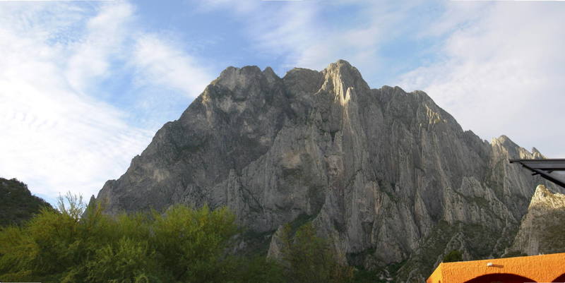
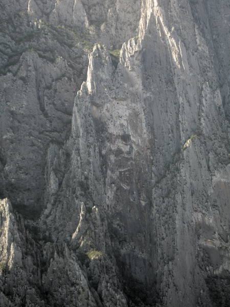
El Toro (The Front Side)
International
> N America
> Mexico
> Nuevo Leon
> El Potrero Chico
Description
This massive wall/mountain which faces town and camp is home to the famous testpiece El Sendero Luminoso. The 12th edition of Magic Ed's guide lists only a handful of routes, so there is likely great new route potential. The wall has a lot of aspects but generally faces N or NE and is a shady place.
Getting There
Decent trails lead from the vicinity of Tami's to the crags. Allow at least half an hour for the approach. For more details, see guidebook.
[Hide Comment] Approach for Land of the Free/El Sendero Luminoso: From a large pull-out on the road head down into the riverbed and locate miners road on the other side (as of 12/2014 it had a sign and a gate). Follow the road for 500 steps and take a trail uphill. After 150 steps it splits. Right - to Plutonia caves, left - to LotF/ESL through some loose scree to slabs below a mine.
Dec 24, 2014
[Hide Comment] Not sure why there aren't more details here on finding the trail. The "mining road" is just the wash parallel to the main paved road leading into EPC proper. The roads over by Homero's are not what you're looking for. Just walk across the wash from the giant dirt parking across from the little restaurants and tiendas to a gate that looks like (and probably is) a driveway to someone's property with a small structure on it. You can see a couple cairns and the trail just on the other side of this gate. Be sure to close it behind you. Simple.
Jan 4, 2017
[Hide Comment] ^---Perfect guide to the start of the hike. I'd like to add that you follow the trail through a well packed scree/talus field and potentially into a second, fragile and loose field as well. The second one is potentially dangerous. We went to Zapatista wall through it and managed to get out of a very large but slow moving rock slide. This is avoidable. If you reach the second talus field, back track about 25' and scramble up a short rock slab. There is an obviously trail on top of it and is easy to find on the way down.
Jan 28, 2017
[Hide Comment] GPS coordinates for the trailhead as of Mar 2023: 25.95374, -100.47846 Looking across the wash from the paved road near El Crux towards the frontside routes, this is just to the left (south) of the orangish, leftmost building & fence (La Cueva Del Jabali camping).
Mar 7, 2023


 Continue with onX Maps
 Continue with Facebook


Denver
From a large pull-out on the road head down into the riverbed and locate miners road on the other side (as of 12/2014 it had a sign and a gate). Follow the road for 500 steps and take a trail uphill. After 150 steps it splits. Right - to Plutonia caves, left - to LotF/ESL through some loose scree to slabs below a mine. Dec 24, 2014
Green Mnt
Frisco, Co
Jackson, WY & Bozeman, MT
Looking across the wash from the paved road near El Crux towards the frontside routes, this is just to the left (south) of the orangish, leftmost building & fence (La Cueva Del Jabali camping). Mar 7, 2023