Colorado
> Silver Plume
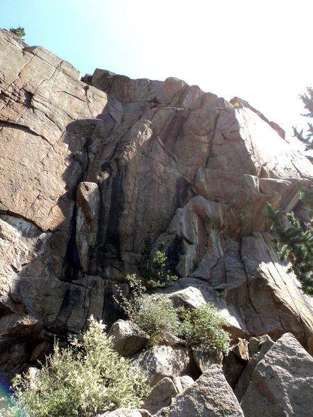
The West Slabs saw some development of bolted routes in the early '90s. Several quite old trad lines exist that must date back 30 years or so. Nearly everything on the West Slab can be done with a single 60 m rope. However, not all routes have bolted anchors, so choose you lines carefully. Numbering used here begins on the left side of the crag with an old Kurt Smith route (1) and ends with a new Kurt Smith route (7), at least so far.
Eds. now there are a number of moderate pitches on the right side of the crag.
Park near the tailings field at the base of The Silver Plume mine. Hike West about 150 feet, crossing a dry streambed. Just after the dry streambed, a trail through the tailings pile zig-zags up to the obvious South-facing crag.
A. Kurt Smith route, 12, 1p, 60', bolts.
B.
The Shaft, 12-, 1p, 60', bolts.
C.
Bolt Like Mad (BLM), 12-, 1p, 70', bolts.
D. Time to Climb, 10, 1p, gear.
E. Toxic Chalk Syndrome, 10+, 1p, gear.
F. Route/project, 1p, bolts.
G. Kurt Smith route, 13-, 1p, bolts.
H.
Unknown 7+, 7+, 2p, 150', bolts & gear.
above H.
Hwan Kap, 9, 1p, 145', gear.
I.
Unknown 9, 9, 1-2p?, 90' or 180', bolts & gear.
J.
Unknown 2nd 9, 9, 1-2p, 90', bolts, pin, gear.
K.
1978 Bracksieck/Mallow Route, 7, 3p, 300', gear.
L.
Left-facing Dihedral, 7, 1p, gear.
above L & right.
Unknown 9+, 9+, 1-3p, bolts & gear.
M.
Unknown 5, 5, 1p, bolt & gear.
above M.
Tin Can Arete, 5, 1p, 110', gear.


 Continue with onX Maps
 Continue with Facebook


![[[108259835]], 9+, pitches 1 & part of 2 in green. [[108259852]], 5, in blue.](https://mountainproject.com/assets/photos/climb/108261140_medium_1494272624.jpg?cache=1701318150)
![[[Unknown 9]]108259811 in red and [[Unknown 2nd 9]]108259818 in yellow.](https://mountainproject.com/assets/photos/climb/108261130_medium_1494272623.jpg?cache=1701318150)


Westminster, Colorado
Also, the cliff lies nearly straight above the mine buildings, although you zig-zag below and above on trails/road to get there. Jul 27, 2013