
 Continue with onX Maps
 Continue with Facebook


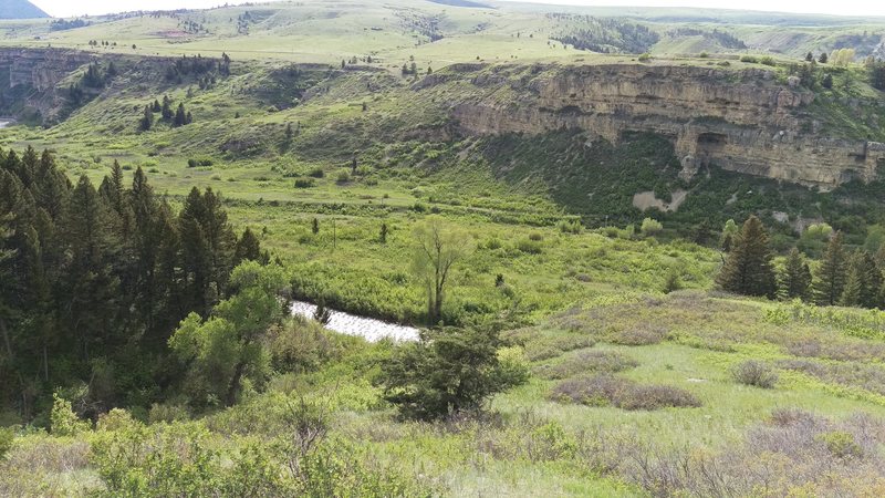
Sluice Boxes State Park Bouldering
Use onX Backcountry to explore the terrain in 3D, view recent satellite imagery, and more. Now available in onX Backcountry Mobile apps! For more information see this post.
| Elevation: | 4,132 ft |
| GPS: |
47.20864, -110.92968 Google Map · Climbing Area Map |
| Page Views: | 1,863 total · 19/month |
| Shared By: | Brian Oelberg on May 18, 2016 |
| Admins: | GRK, Zach Wahrer |

Weather Averages
|
High
|
Low
|
|
Precip
|
Days w Precip
|
Prime Climbing Season
| J | F | M | A | M | J | J | A | S | O | N | D |
| J | F | M | A | M | J | J | A | S | O | N | D |
Photos


All Photos Within Sluice Boxes State Park
Most Popular · Newest · RandomMore About Sluice Boxes State Park
Printer-FriendlyWhat's New
Guidebooks (2)


0 Comments