
 Continue with onX Maps
 Continue with Facebook


Owl's Cliff Rock Climbing
| Elevation: | 2,644 ft |
| GPS: |
44.0447, -71.3618 Google Map · Climbing Area Map |
| Page Views: | 71,103 total · 419/month |
| Shared By: | M Sprague on May 3, 2010 · Updates |
| Admins: | Jay Knower, M Sprague, Lee Hansche, Jeffrey LeCours, Jonathan S, Robert Hall |
Description


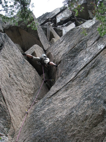
For the adventurous, if you are willing to bike/hike a little, Owl's offers great granite climbing away from the masses, with a beautiful view of the surrounding mountains with little evidence of civilization. The rock is crumbly in spots but mostly nice solid granite up to 250 feet tall. There are many high quality pitches to do here, of all grades, from 5.4 to stiff 13, trad, mixed and sport, slabs, faces, super classic cracks, corners and aretes, with routes up to 4 pitches. Currently, there are about 75 fully established pitches between the two cliffs, with the left cliff having the most (about 50), with many projects in the works and room for many more classic lines. Most climbs are well protected, with modern bolted anchors with rings or heavy quicklinks, though certainly bring you trad skills and self sufficiancy. You will be out there and not close to quick rescue. Most climbs can be done with a single 60 m rope.
Getting There
See Glenn's map mountainproject.com/v/new_h… Owl's is approached off Bear Notch road. The easiest way seems to be to go in via Rob Brook Rd, a wide, well graded, gated forest road. People have approached from various points further north up Bear Notch Rd., but, though they look shorter as the crow flies, they mostly entail more up and down hiking and more bushwhacking through difficult terrain. For only going to the Right Cliff, some have reported that coming in from high on Bear Notch road at Douglas Brook, then rapping in from the top works well, taking about an hour (You will need an extra rope to leave fixed and Jumars for jugging back out though. See comments on the Right Cliff page) There isn't any real quick way between the two main cliffs, so you should probably pick one or the other for the day.
To go in the Rob Brook way, hike or bike in about 2.5 miles and you should see a sign on your right for the Brunel Trail. If you are not over loaded, a bike will really shave off time and make the trip out and back much more fun. Continue past the Brunel for a few hundred yards and take a right @44.023020, -71.356330 up a grassy forest road. When you come to a "Y" take a right, following the arrows for the snowmobiles. In the guide, Handren mentions a shortcut we used to use that cuts off just before the "Y". We found it only saves a couple minutes and is steeper. Don't bother with it. Just after the forest road gains its highpoint but several hundred yards before it recrosses the Brunel, keep an eye out for a good sized cairn on the left near 44.034550, -71.359210. Bushwhack in following more cairns to find the remains of a skidder trail @ 44.034990, -71.358930. This should all be easy to follow. The bushwhack is a few minutes past a steep heavily eroded section, just after a seasonal stream crosses the trail, and a yellow arrow sign on a tree on you right. Head up the skidder trail, which peters out into a game/climber trail up the hillside, to eventually get to the Oracle Boulders @ 44.042230, -71.359420. The largest of these, the Gun Sight Boulder, has a 5 bolt route up an arete. From the uphill side of these you break right or left and up depending on which cliff you are going to. Along the way, about 10 minutes before you would get to the Oracle Boulders, there is a "T" junction at the top of a short steep section, marked by a cairn. Left goes up to the crags and right leads to good water in about 3 minutes@ 44.041290, -71.357450 (not the minipond you first come to, but a stream issuing forth from a spring at a rock). Be especially considerate about not relieving your self anywhere even remotely near the spring, please.
Total travel distance from parking to get to the left cliff is about 4.7 miles. The hike in can be a beast with a heavy pack. Pack accordingly, while being aware that the cliffs are pretty high up and can go from hot to cold quickly. Bears and Moose are often encountered as well as some very cool owls. During bug season they seem especially bad here due to the marshes and running water below, so unless you like hiking with a heavy pack in a full bug suite, avoid the cliff then. Remember you are out there and need to be self sufficient. I do seem to get some limited cell service on top of the cliff, but not on the hike in or along the Kanc, so pack your phone, but don't rely on it.
For your first time, with a bike, figure about 1-1/2 hrs to get to the right cliff going in this way, 2 hrs if carrying a giant pack and no bike. Add five or ten minutes to get to the left cliff. It gets faster once you do it a few times. I have made it in in just over an hour without a bike, jog-trotting with a light pack.

Guidebooks

Jerry Handren's generally excellent guide 'North Conway Rock Climbs' is mostly up to date as of 2022 and devotes 15 pages to Owl's. It includes great photos, overviews, GPS points and maps. North Conway Rock Climbs
Classic Climbing Routes at Owl's Cliff


Weather Averages
|
High
|
Low
|
|
Precip
|
Days w Precip
|
| J | F | M | A | M | J | J | A | S | O | N | D |
| J | F | M | A | M | J | J | A | S | O | N | D |
Photos


All Photos Within Owl's Cliff
Most Popular · Newest · RandomMore About Owl's Cliff
Printer-FriendlyWhat's New
Guidebooks (1)


3 Comments