Audubon Buttress Rock Climbing
Use onX Backcountry to explore the terrain in 3D, view recent satellite imagery, and more. Now available in onX Backcountry Mobile apps! For more information see this post.
| Elevation: | 5,442 ft |
| GPS: |
37.72563, -119.66692 Google Map · Climbing Area Map |
| Page Views: | 3,143 total · 32/month |
| Shared By: | Christina Freschl on Feb 29, 2016 |
| Admins: | Mike Morley, Adam Stackhouse, Salamanizer Ski, Justin Johnsen, Vicki Schwantes |
 Access Issue: Latest updates on closures, permits, and regulations.
Details
Please visit climbingyosemite.com/ and nps.gov/yose/planyourvisit/… for the latest information on visiting Yosemite, including permits, regulations, and closure information.
Yosemite National Park has yearly closures for Peregrine Falcon Protection March 1- July 15. Always check the NPS website at nps.gov/yose/planyourvisit/… for the most current details and park alerts, and to learn more about the peregrine falcon, and how closures help it survive. This page also shares closures and warnings due to current fires, smoke, etc.
Yosemite National Park has yearly closures for Peregrine Falcon Protection March 1- July 15. Always check the NPS website at nps.gov/yose/planyourvisit/… for the most current details and park alerts, and to learn more about the peregrine falcon, and how closures help it survive. This page also shares closures and warnings due to current fires, smoke, etc.
Description

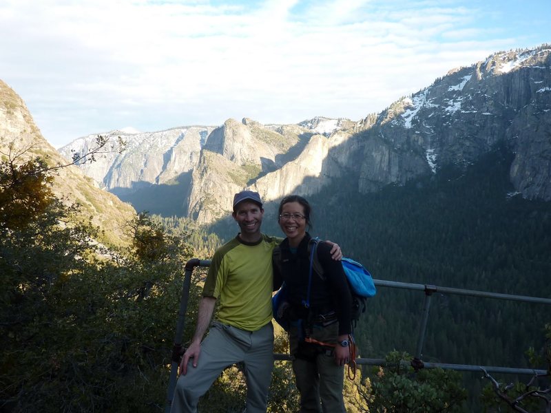
A great winter climbing destination. Dries quickly, because it gets direct sun all day. Similar exposure to Reed's. Very secluded and un-developed. As said on Supertopo by The Warbler, "No bolts, no folks."
Getting There

The approach is around 1 1/2 hours. It is quite pleasant hiking along the Old Big Oak Flat Road. Park at the woodlot after El Cap meadow. Follow the directions for Little Wing and then continue until you come to a large rock slide. (About 45 minutes) This is where the road used to switch-back to gain elevation. You will not see the road, but look up the rock slide where you will see an old retaining wall. Scramble up the boulders, until you are at the base of the wall. Next traverse to the trees, where you will regain the road. From here hike to Rainbow Point. There is an old railing and USGS plaque here. From Rainbow Point hike for about 7 minutes and then head straight up into the woods. You can't see the cliff, because you are in the trees. Head up steep slope for less than 5 minutes and you will begin to see the cliff. This will take you to the base of Duncan Imperial. Head uphill to the left to reach Wild Turkey.
Weather Averages
|
High
|
Low
|
|
Precip
|
Days w Precip
|
Prime Climbing Season
| J | F | M | A | M | J | J | A | S | O | N | D |
| J | F | M | A | M | J | J | A | S | O | N | D |
All Photos Within Audubon Buttress
Most Popular · Newest · RandomMore About Audubon Buttress
Printer-FriendlyWhat's New
Guidebooks (12)

 Continue with onX Maps
 Continue with Facebook


1 Comment