
 Continue with onX Maps
 Continue with Facebook


How Rap Slings came to the Gunks


|
RMC anchor is gone too. |
|
|
rgold wrote: if climbers turn out not to give a damn about the natural scene.I think started happening years ago, I saw it in the Gunks and haven't been there in over 25 years! |
|
|
Rob D. wrote:RMC anchor is gone too.Well that sling never made any sense anyway. It is below the crux, and you can reach the ground from the solid tree anchor at the end of the pitch. |
|
|
Which rmc anchor, by the traverse? Or all the way up top |
|
|
Daniel Affsprung wrote:Which rmc anchor, by the traverse? Or all the way up topThe one up top is gone. |
|
|
Rob D. wrote:RMC anchor is gone too.so Rob how did you get down? |
|
|
Daniel Affsprung wrote:Which rmc anchor, by the traverse? Or all the way up topsorry that was unclear: the anchor at the top of the first pitch (next to the traverse before the pin) is still there, but I think thinned out (it used to be a nest), the single rope-anchor at the top of pitch 2 (or what most people do as pitch one) is still there, though looking bad. and the anchor at the top of the climb (next to the overcliff trail) is chopped. I believe on mountain project and in the trapps app (though I could be wrong about the latter) is says there is a rapp station there. There was already a party rapping betty with doubles so we hitched a ride with them and made sure to shower everyone with as many loose rocks as possible and kill the trees on the way down. edit to add: I understand why the rapp station at the top was chopped, but the two stations below are of much crummier quality and don't provide a good way down compared to any of the other tatt around or walking off. I can't speak to the reason behind chopping the top anchors there, but chopping the top and leaving the shitty slings around the trees lower could very well encourage people to not top-out and rappel from the questionable tree-station at the top of p2 or to only do the first 75 feet of the climb (which would be a shame because it gets much better in quality as it goes). Maybe the tat at the top was worse than I remember (was it not steel cable?) but if it was made for safety reasons then why was it not replaced, if it was made for ethical reasons why weren't the other stations removed as well? |
|
|
Rob D. wrote:...and made sure to shower everyone with as many loose rocks as possible and kill the trees on the way down.Atta boy!! :) |
|
|
It is waaay faster to walk down from the top of RMC and climbs in that area than to rap. |
|
|
Brian wrote:It is waaay faster to walk down from the top of RMC and climbs in that area than to rap.no doubt but if someone already has a rope there then I'm down in what, a minute? Another part of it is I'm not in the gunks to do as many pitches as I can in a day, I'm there to have fun and get some practice in for more serious circumstances. Rappelling efficiently is part of that practice. As this relates to the "rappelling faster" discussion where rgold and a few others were mentioning not linking pitches because breaking up climbs can help you prepare for the mountains, I think that added into that is rappelling and evaluating rappel stations. Again though, I really have no issue with RMC anchor being chopped, I just find the decision to only chop the top to be flawed in that either of the two reasons I can think of (safety or ethics), were both done half-assedly. If you're going to chop for safety, then replace it. If you're going to chop for ethical reasons, then chop the whole route's rapp stations not just the top (especially given how manky the bottom ones are compared to the top). |
|
|
JSH wrote: Chris - GPS is a nice idea, but I think climbers with smartphones on their persons at the clifftop are an acute minority. I don't know what the solution is here. Even with set-apart rap routes, it is almost always necessary to downclimb a bit to anchors on the cliff face, so some sort of directions to the non-obvious are necessary. High E is the best-case scenario, finding the anchors on Mme G's ... not so much.Finding The Last Shall Will Be First rap line after topping out on nearby climbs is tough to find unless you have found it at least once from the top and memorized its location. It is really not obvious. For that matter finding the City Lights line is a bit non-obvious as well. Solution? Dare I repeat, signage at the top directing one to the rap lines and walkoffs? Now back to a much more likely to be implemented solution, how about more detailed "how to find the rap and/or walkoff from the top" descriptions on MP for each climb. Or perhaps a "how to find the rap and/or walkoff section description" as a separate entry in the appropriate section of the cliff with reference to it in each applicable route description. Haven't seen Chris' app yet but I assume I similar system could be added. |
|
|
losbill wrote: For that matter finding the City Lights line is a bit non-obvious as well. Solution? Dare I repeat, signage at the top directing one to the rap lines and walkoffs? Haven't seen Chris' app yet but I assume I similar system could be added.Hey Bill, Pic of what we did for the City Lights rappel in the app is below. The GCC is working the Preserve and signage has been discussed and may become a reality. JSH wrote: Chris - GPS is a nice idea, but I think climbers with smartphones on their persons at the clifftop are an acute minority.Julie, I agree, but I think that this will change with time, especially as phones begin to become more bendable, durable, shatter-proof etc... Click here to view Gunks Apps full size shot 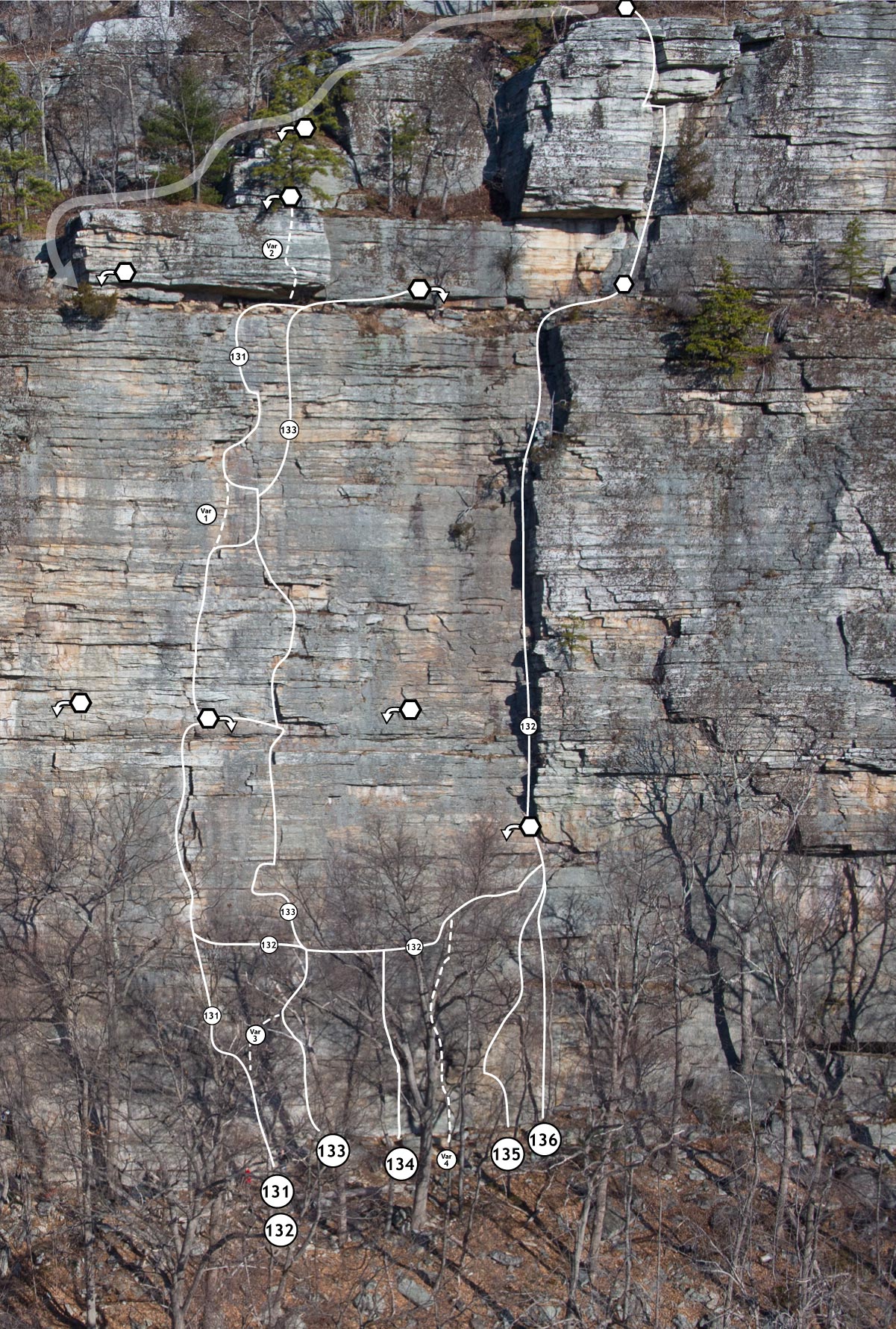 |
|
|
I didn't know that signage is in the works in the near future, but in any case a simple cairn will do the trick most of the time, eg for the LWBF rap, which is important as it is the best way to rap off after CCK and things nearby. Last year someone installed a rap on trees at the top of CCK direct, a rappel that sent people directly down CCK, the very worst type of installation. This particular sling did not last long. |
|
|
Christian Fracchia wrote: Hey Bill, Pic of what we did for the City Lights rappel in the app is below. The GCC is working the Preserve and signage has been discussed and may become a reality. Julie, I agree, but I think that this will change with time, especially as phones begin to become more bendable, durable, shatter-proof etc... Click here to view Gunks Apps full size shotChris very nicely done! |
|
|
I do not understand why people have trouble finding rappel lines. I started climbing in the Gunks in 2005 as a total n00b with a brand new rack and I've never had difficulty locating the bolted descents. The photos in Dick Williams's guidebook and a basic sense of direction (left or right) are very sufficient. |
|
|
rgold wrote: I don't think it would be that hard to program in GPS rap point coordinates and have the cell phone issue a proximity alert...extra functionality for the Trapps App?Yes, it's not that hard, and the update we have been working on will have an option to enable GPS for locating trails and the base. We haven't figured out how to do the top yet because we need reference points. We have a couple of ideas, but they don't work for all of the situations. |
|
|
lucander wrote:I do not understand why people have trouble finding rappel lines. I started climbing in the Gunks in 2005 as a total n00b with a brand new rack and I've never had difficulty locating the bolted descents. The photos in Dick Williams's guidebook and a basic sense of direction (left or right) are very sufficient.Agreed! But it seems there are people who either haven't consulted the photos or don't have "a basic sense of direction" or maybe can't be bothered to wander around for a few minutes, and would rather throw a sling around the nearest tree to where they topped out. That said, finding some of the raps points from the top requires the willingness to explore a little. If something like the Trapps App can keep these folks from adding slings to the top of climbs, then it is a good thing even if, in some better version of our current world, people would be able to find descents without electronic direct aid. |
|
|
7 pages of discussion on something that should not be an issue... most heavily used crags in the world have bolted anchors all over the top of the cliff, no need for signs or apps or walking around looking for them. We have old traddies and new traddies bitching about people rapping off of trees, which I agree is lame as hell, but isnt this the way traddies have been doing it(cause bolts are BAD mmmk?) since time began? |
|
|
T Roper wrote:7 pages of discussion on something that should not be an issue... most heavily used crags in the world have bolted anchors all over the top of the cliff, no need for signs or apps or walking around looking for them. We have old traddies and new traddies bitching about people rapping off of trees, which I agree is lame as hell, but isnt this the way traddies have been doing it(cause bolts are BAD mmmk?) since time began? IMO just friggin put bolted anchors at least every 50' and solve this senseless issue. jesus this region of the country is weird.Nice rant, and good job missing the point! In the case noted above (City Lights bolted anchor) we are talking about folks topping out on climbs less than 50 feet away not knowing the anchor is there. I've seen people top out on Son of Easy O walking over to look for a rappel to climber's left (over Baby) when there was a bolted anchor to their right they could see from SoEO. You could even angle straight to it from that climb... I've personally seen people rapping off trees on climbs that topped out to climber's right that either didn't know it was a short walk away, or didn't care. |
|
|
Uh yeah Roper, the Gunks isn't like everywhere else. I haven't been anywhere except Froggatt Edge in Great Britain that allows for so many boltless routes in close proximity. The place worked just fine with the bare handful of bolts it had in the eighties. Not everything needs to be beaten into the same non-descript vanilla pudding, really fuck sakes if you can't figure out how to get down safely from the Gunks you aren't ready to climb there. |


